cieldumort
Moderator

Reged:
Posts: 2331
Loc: Austin, Tx
|
|
5:30AM EDT 07 September 2017 Update
Irma weakened a bit overnight, with a slightly ragged eye, but is still a high-end category 5 hurricane. She may fluctuate in intensity over the next few days, Hispaniloa may impact some of the inflow, but water temperatures are more than warm enough for it to recover.
Watches for South Florida and the Keys will probably go up at 11AM. See the Discussion for more, also.
Irma Threads: Lounge (Future Track speculation - Observations Weather and Public - Real time updates on current Irma conditions go as comments to this news article. - General Tips and questions.

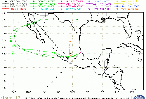
Elsewhere, Katia has warnings up along the Mexican coastline for landfall very late Tomorrow. Those in the area should prepare for flooding rains, strong winds and protect life and property.
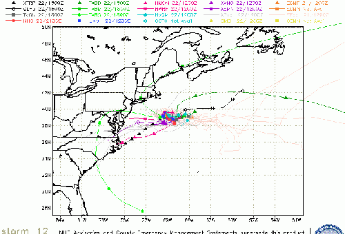
Jose is tracking in the Open Atlantic behind Irma and may get close to the easternmost Islands just impacted by her. Additionally, Jose needs to be watched later to see if it loops back towards the US.
11PM EDT 06 September 2017 Update
IRMA HAS JUST SET A WORLD RECORD
Quote:
Irma has now had winds of 185 mph for 33 hrs - no other TC around the globe has been this strong for so long in satellite era (since 1966). Previous record was 24 hr set by Supertyphoon Haiyan in 2013.
Cr: Phil Klotzbach
It goes without saying that we are in uncharted territory.
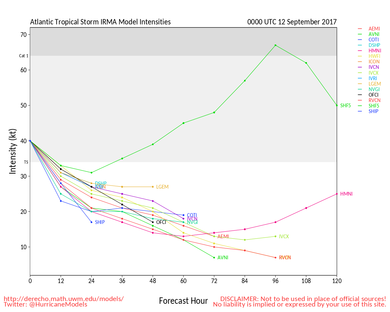
Elsewhere, both Hurricane Jose and Katia have strengthened further, 85 MPH and 80 MPH, respectively. There is a chance either or both will also become Majors.
5PM EDT 06 September 2017 Update
Jose AND Katia were both upgraded to a hurricane at 5PM
For Katia:
The government of Mexico has issued a Hurricane Watch for the coast
of the state of Veracruz from Tuxpan to Laguna Verde.
For Irma:
The government of the Bahamas has issued a Hurricane Warning for
the central Bahamas, including Cat Island, the Exumas, Long Island,
Rum Cay, and San Salvador. A Hurricane Watch has been issued for
the northwestern Bahamas, including the Abacos, Andros Island,
Berry Islands, Bimini, Eleuthera, Grand Bahama Island, and New
Providence.
The government of Cuba has issued a Tropical Storm Warning for the
Cuban provinces of Guantanamo, Holguin, and Las Tunas.
11:30AM EDT 06 September 2017 Update
Irma has moved over St. Maarten and Barbuda overnight and is approaching the British Virgin islands this morning, the forecast track has shifted right for an east coast run up Florida, east or on the euro ensembles, west of the . The hurricane itself is moving or wobbling to the south, which may bring more impact to the US VI and Puerto Rico than previously forecast.
Hurricane Warning has been issued for the north coast of Haiti from the northern border with the Dominican Republic to Le Mole St. Nicholas. A Tropical Storm Warning has been issued for for the coast of Haiti from south of Le Mole St. Nicholas to Port-Au-Prince.
The government of France has discontinued all warnings for Guadeloupe.
The government of Antigua has discontinued all warnings for Antigua, Barbuda, St. Kitts, Nevis, and Montserrat.
Oh and Tropical Storm Katia forms in the Gulf, headed toward Mexico.
8:30PM EDT 05 September 2017 Update

New Threads: Lounge (Future Track speculation - Observations Weather and Public - Real time updates on current Irma conditions go as comments to this news article. - General Tips and questions.
5PM EDT 05 September 2017 Update
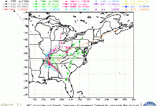
TD#13 Forms in Bay of Campeche likely to Impact Mexico, Jose in Central Atlantic.
2PM EDT 05 September 2017 Update
Recon finds pressure of 926mb, 185mph winds.
8AM EDT 05 September 2017 Update
Hurricane hunters found Irma has strengthened into a category 5 storm, with sustained winds now at 175 MPH and a pressure down to 929mb.
New Threads: Lounge (Future Track speculation - Observations Weather and Public - Real time updates on current Irma conditions go as comments to this news article. - General Tips and questions.
5AM EDT 05 September 2017 Update

The last late night recon missions into Irma left a few hours ago finding winds supporting mid-range Category 4. Since then, the satellite appearance of Irma has improved even more, with satellite-based intensity estimates coming in closer to or at Cat 5. will want a little more confirmation and maybe at least one or two new complete recon passes before making such a call. A new mission is scheduled to be in the eye of Irma shortly. There is a good chance that it will find Irma a Cat 5, or very close to it.
The bottom line - Irma is an extremely dangerous hurricane. Those within her 24 hour path should now be rushing life-saving preparations to completion. Surge prone low lying areas will likely become inundated. Even well built structures may sustain crippling damage from the wind and be uninhabitable for weeks, or longer.
-Ciel

Hurricane Irma is the second Major Hurricane of 2017 in the Atlantic basin to directly threaten large numbers of people, possibly including here in the United States. After a record hiatus of US landfalls, a return to the mean, or even beyond, may be underway, and residents inside the 3 and 5 day cones are urged to take this very seriously, and begin preparing for impacts - potentially catastrophic. It's time to pay extra close attention to this one.
There is still a considerably greater than normal uncertainty in the Hurricane Irma track after Day 5. Florida should watch closely.
SUMMARY OF WATCHES AND WARNINGS IN EFFECT AS OF 11AM AST:
A Hurricane Warning is in effect for...
* Antigua, Barbuda, Anguilla, Montserrat, St. Kitts, and Nevis
* Saba, St. Eustatius, and Sint Maarten
* Saint Martin and Saint Barthelemy
A Hurricane Watch is in effect for...
* Guadeloupe
* British Virgin Islands
* U.S. Virgin Islands
* Puerto Rico, Vieques, and Culebra
A Tropical Storm Watch is in effect for...
* Dominica
We are also keeping a close eye on what could become future Jose and maybe also future Katia: (94L in the central Tropical Atlantic southeast of Irma and a persistent trof in the SW Gulf of Mexico).
Go beyond the cone! Read and share educated best guesses on these systems in our Lounges. Grab a double shot of your favorite beverage (you might need it) and join us for forecasts and model discussions beyond 72 hours and more in the Lounge!
Huricane Irma Forecast Lounge , SW Gulf Low Lounge, Invest 94L Lounge
Port St Maarten Webcam
Eastern Caribbean Radar Recording for Irma
Port Gustavia, St. Barth Live Stream Camera Flhurricane time lapse recording of this camera
Harvey Related flhurricane recordings
Edited by cieldumort (Thu Sep 07 2017 07:37 AM)
|
MikeC
Admin
Reged:
Posts: 4566
Loc: Orlando, FL
|
|
Recon found 130mph winds along the northeastern side of Irma, it may be heading for Cat 4 status later today.
|
MikeC
Admin
Reged:
Posts: 4566
Loc: Orlando, FL
|
|
Turned on the radar Recording for the Eastern Caribbean http://flhurricane.com/imageanimator.php?295 western band showing up on radar.
|
cieldumort
Moderator
Reged:
Posts: 2331
Loc: Austin, Tx
|
|
New attempting to get underway. Great image below from Tropical Tidbits shows the double wind peaks. Also possible that Irma is still experiencing a little shear with a slight displacement of the pressure/wind minimums.

|
MikeC
Admin
Reged:
Posts: 4566
Loc: Orlando, FL
|
|
8pm advisory is 140mph, but recon is finding a few spots of 135-137knot winds (aka 150-155mph) already too.
|
Random Chaos
Weather Analyst

Reged:
Posts: 1024
Loc: Maryland
|
|
Radar loop from tonight's hurricane hunter flight:
" target="_blank">
|
cieldumort
Moderator
Reged:
Posts: 2331
Loc: Austin, Tx
|
|
|
cieldumort
Moderator
Reged:
Posts: 2331
Loc: Austin, Tx
|
|
|
MikeC
Admin
Reged:
Posts: 4566
Loc: Orlando, FL
|
|
New Threads: Lounge (Future Track speculation - Observations Weather and Public - Real time updates on current Irma conditions go as comments to this news article. - General Tips and questions.
|
MikeC
Admin
Reged:
Posts: 4566
Loc: Orlando, FL
|
|
Now @ 180 MPH with 931mb of pressure. Flhurricane is being hit hard with traffic the likes it hasn't seen in years, apologies if things break or the site is slow, we're actively tweaking things to avoid it.
|
cieldumort
Moderator
Reged:
Posts: 2331
Loc: Austin, Tx
|
|
|
scottsvb
Weather Master
Reged:
Posts: 1184
Loc: fl
|
|
Lets HOPE Irma gets north of St Maarten... Huge Cruise Ship Port (even though none will be there today-tomorrow...Such a beautiful Island... but all the islands Antigua, St Barts are in direct paths tonight... then tomorrow Tortola and St Thomas. Eastern PR will feel Hurricane Force winds at times..but current 36-48hr path should keep the core of the hurricane to its NE... (lets hope)
|
cieldumort
Moderator
Reged:
Posts: 2331
Loc: Austin, Tx
|
|
|
MikeC
Admin
Reged:
Posts: 4566
Loc: Orlando, FL
|
|
Hurricane Warnings up for the North Coast of the Dominican Republic.
Winds 185MPH with gusts to 225MPH
29 mile wide eye.
|
MikeC
Admin
Reged:
Posts: 4566
Loc: Orlando, FL
|
|
916mb is the last recon pass
|
MikeC
Admin
Reged:
Posts: 4566
Loc: Orlando, FL
|
|
added
Port Gustavia, St. Barth Live Stream Camera Flhurricane time lapse recording of this camera
Soggy Dollar Bar, White Bay in British VI Live Stream Camera Flhurricane time lapse recording of this camera
also http://www.portstmaartenwebcam.com/ for the Port St. Maarten Webcam
|
cieldumort
Moderator
Reged:
Posts: 2331
Loc: Austin, Tx
|
|
Irma passed over Barbuda overnight, with the island in the eye for a while. The strongest portion of the eyewall did not hit, but extremely strong winds still occurred, with the anemometer failing at 118 MPH sustained 2-min avg.

|
cieldumort
Moderator
Reged:
Posts: 2331
Loc: Austin, Tx
|
|
--------------------
Fully vaccinated as of May 2021
(Moderna x2)
|
MikeC
Admin
Reged:
Posts: 4566
Loc: Orlando, FL
|
|
Long term San Juan radar recording http://flhurricane.com/imageanimator.php?299
|
cieldumort
Moderator
Reged:
Posts: 2331
Loc: Austin, Tx
|
|
|


 Threaded


