Both Jose and 96L (Likely soon Lee or Maria) are potential threats to land next week. Elsewhere, FOURTEEN is still way out in the Atlantic.
-Ciel
5AM EDT 15 September 2017 Update
Tropical Depression 14 has formed in the east Atlantic (from 97L), this one is most likely to stay out to sea. 96L has an 80% chance for development over the next few days, and the eastern Caribbean Leewards should keep watch on this system.
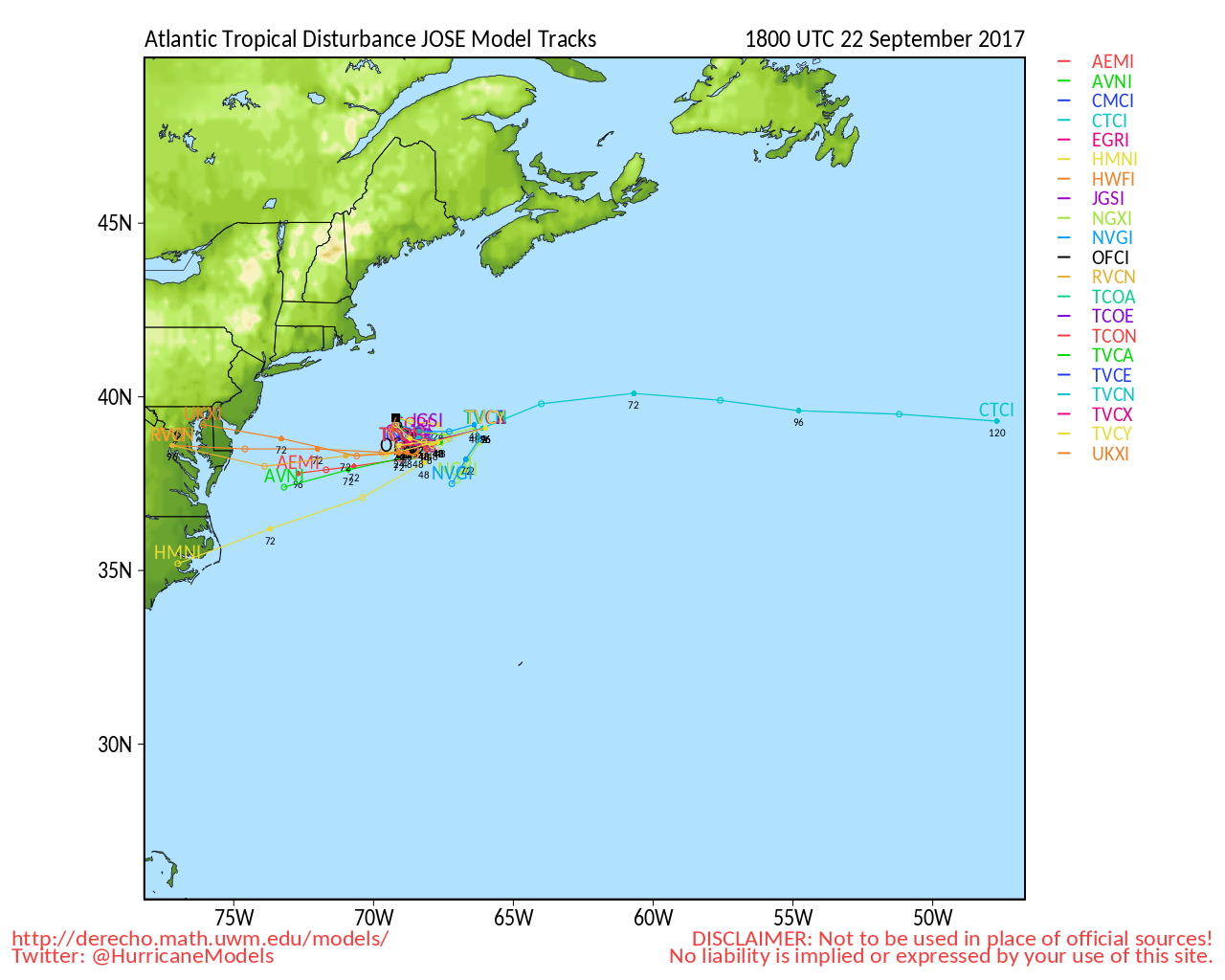
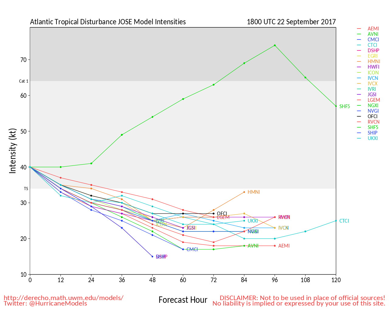
Jose continues to churn in the Atlantic, and should be watched, particularly from North Carolina northward into New England as some of the models have it close or making landfall next week.
Original Update
Irma's aftermath is still being felt across the Caribbean and Florida, Southeast, but that is not the only storm. Jose, recently downgraded to Tropical Storm, is still worth monitoring since the edge of the cone is in the Outer Banks currently,
There is also two waves, 96 and 97, which should be watched into next week.
More to come later
Florida
Florida State Emergency Management - Floridadisaster.org
News Media (South Florida):
Television:
Newspapers:
News Radio:
Check local media and officials when a storm is approaching your area.
News Media (East Central Florida):
Television:
Newspapers:
News Radio:
Check local media and officials when a storm is approaching your area.
Jacksonville, FL Area Media:


 Threaded


