F
Current Radar or Satellite Image

Flhurricane.com - Central Florida Hurricane Center - Tracking Storms since 1995Hurricanes Without the Hype! Since 1995


The 2024 Atlantic Hurricane Season Begins on June 1st and lasts until Nov 30th. NHC Outlooks resume on May 15th..
Days since last H. Landfall - US: Any 236 (Idalia) , Major: 236 (Idalia) Florida - Any: 236 (Idalia) Major: 236 (Idalia)


Archives 2010s >> 2017 News Talkbacks

Pages: 1
cieldumort
Moderator


Reged:
Posts: 2305
Loc: Austin, Tx
Maria, Lee and What May Be
      #99022 - Sun Sep 24 2017 05:22 PM

10PM EDT Update 1 October 2017
There are no active storms in the Atlantic basin. It's about time.

2PM EDT Update 27 September 2017

Maria is beginning to move away from the US and out to sea. Hurricane Lee is now a major hurricane, but will also stay out to sea.

Another area south of Cuba currently is forecast to move north of Cuba and deepen, either as a frontal or possibly subtropical low, which will likely bring rain to South Florida and central Florida, and make it generally windy over the weekend, then it likely will move back to the west over Central Florida. How strong it gets is up in the air, but it is something to watch closely over the next few days.

There's a 20% chance it develops over the next 5 days right now, so it likely will just bring rain and some wind.


East Florida Links <html><a href="http://radar.weather.gov/ridge/Conus/southeast_lite_loop.php" onMouseover="ddrivetip('<img src=\'http://radar.weather.gov/ridge/Conus/Loop/southeast_loop.gif\'>');" onMouseout="hideddrivetip();">Southeast Composite Radar Loop</A>

(<a href="http://radar.weather.gov/ridge/Conus/southeast_lite.php" 

onMouseover="ddrivetip('<img src=\'http://radar.weather.gov/ridge/Conus/RadarImg/southeast.gif\>');" onMouseout="hideddrivetip();">Latest Static</a></html>) South to North:

<html> <a href="https://radar.weather.gov/ridge/lite/K</html>BYW<html>_loop.gif" onMouseover="ddrivetip('<img src=\'https://radar.weather.gov/ridge/lite/K</html>BYW<html>_loop.gif\'>');" onMouseout="hideddrivetip();"></html>Key West, FL Radar<html> Radar Loop</A>

(<a href="https://radar.weather.gov/ridge/lite/K</html>BYW<html>_0.gif" onMouseover="ddrivetip('<img src=\'https://radar.weather.gov/ridge/lite/K</html>BYW<html>_0.gif\'>');" onMouseout="hideddrivetip();">Latest Static</a>)</html>

<html> <a href="https://radar.weather.gov/ridge/lite/K</html>AMX<html>_loop.gif" onMouseover="ddrivetip('<img src=\'https://radar.weather.gov/ridge/lite/K</html>AMX<html>_loop.gif\'>');" onMouseout="hideddrivetip();"></html>Miami, FL Radar<html> Radar Loop</A>

(<a href="https://radar.weather.gov/ridge/lite/K</html>AMX<html>_0.gif" onMouseover="ddrivetip('<img src=\'https://radar.weather.gov/ridge/lite/K</html>AMX<html>_0.gif\'>');" onMouseout="hideddrivetip();">Latest Static</a>)</html>

<html> <a href="https://radar.weather.gov/ridge/lite/K</html>MLB<html>_loop.gif" onMouseover="ddrivetip('<img src=\'https://radar.weather.gov/ridge/lite/K</html>MLB<html>_loop.gif\'>');" onMouseout="hideddrivetip();"></html>Melbourne, FL Radar<html> Radar Loop</A>

(<a href="https://radar.weather.gov/ridge/lite/K</html>MLB<html>_0.gif" onMouseover="ddrivetip('<img src=\'https://radar.weather.gov/ridge/lite/K</html>MLB<html>_0.gif\'>');" onMouseout="hideddrivetip();">Latest Static</a>)</html>

<html> <a href="https://radar.weather.gov/ridge/lite/K</html>JAX<html>_loop.gif" onMouseover="ddrivetip('<img src=\'https://radar.weather.gov/ridge/lite/K</html>JAX<html>_loop.gif\'>');" onMouseout="hideddrivetip();"></html>Jacksonville, FL Radar<html> Radar Loop</A>

(<a href="https://radar.weather.gov/ridge/lite/K</html>JAX<html>_0.gif" onMouseover="ddrivetip('<img src=\'https://radar.weather.gov/ridge/lite/K</html>JAX<html>_0.gif\'>');" onMouseout="hideddrivetip();">Latest Static</a>)</html>


Caribbean/South East Coast Satellite Imagery


SFWMD Radar Loop of South Florida with storm Track


SFWMD Full Florida Radar Loop with Storm Track


Area Forecast Discussions: FLorida Keys - Miami/South Florida - Melbourne/East Central Florida - Jacksonville/Northeast Florida -


Original Update


There will never be another hurricane named Maria, and while a beautiful name and a gorgeous cyclone, it's safe to say that 2017 Atlantic Tropical Cyclone 15L "Maria" will not be missed.

Maria is not done yet, and interests along the east coast need to pay very close attention over the next few days, as even if Maria does not come ashore along or near the Outer Banks (increasingly possible - in fact with many of the model ensembles showing this) her effects are and will still be felt in the form of dangerous rip currents, high swells and blustery wind and rain. Stay tuned, and ready to prepare to take more action as her Cone of Uncertainty has continued to include the OBX, and may still shift west.

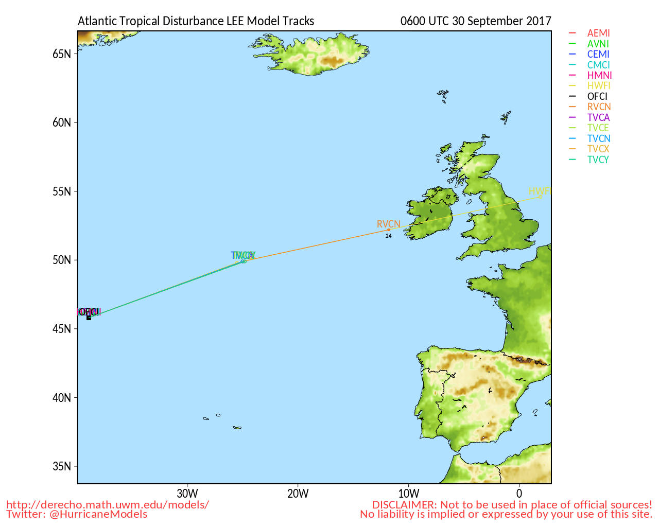
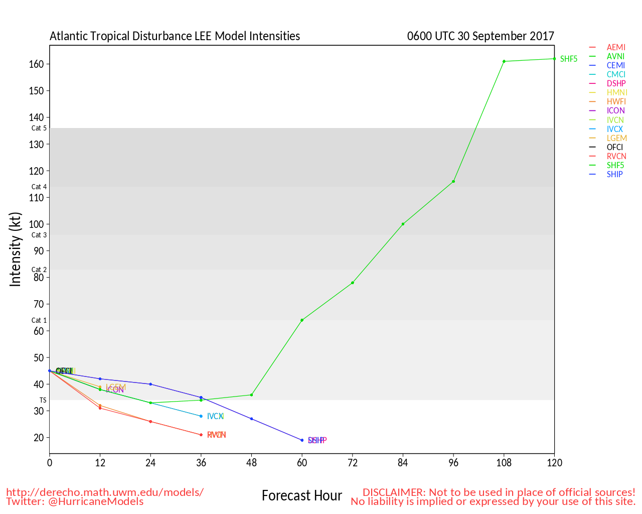
Elsewhere, Lee, having gone from TD to Tropical Storm, to just a remnant, is now a very powerful, very compact hurricane, conservatively estimated to have 90 MPH maximum sustained winds at the time of this post, making Lee the 8th Hurricane of this hyperactive 2017 Atlantic Hurricane Season. This one will probably stay well at out sea, but may have some impact on Maria's steering currents, as it is plenty strong to impact the other features in that region, despite the small size. In fact, it would not be shocking to see Lee become one of the Majors. Without recon going all the way out there to sample him, unless he should start to threaten land of course, we would have to rely mostly on satellite estimates to make this determination. We have the technology...

Looking ahead to next week, solid models are already honing in on increasing potential for new tropical cyclone formations. The first place to find out if we have identified a specific feature or Invest worth tracking will be in the 2017 Forecast Lounge , and we hope you will also join us there.


Mid-Atlantic/Carolina Links <html><a href="http://radar.weather.gov/ridge/Conus/southeast_lite_loop.php" onMouseover="ddrivetip('<img src=\'http://radar.weather.gov/ridge/Conus/Loop/southeast_loop.gif\'>');" onMouseout="hideddrivetip();">Southeast Composite Radar Loop</A>

(<a href="http://radar.weather.gov/ridge/Conus/southeast_lite.php" 

onMouseover="ddrivetip('<img src=\'http://radar.weather.gov/ridge/Conus/RadarImg/southeast.gif\>');" onMouseout="hideddrivetip();">Latest Static</a></html>)

<html> <a href="https://radar.weather.gov/ridge/lite/K</html>clx<html>_loop.gif" onMouseover="ddrivetip('<img src=\'https://radar.weather.gov/ridge/lite/K</html>clx<html>_loop.gif\'>');" onMouseout="hideddrivetip();"></html>Charleston, SC Radar<html> Radar Loop</A>

(<a href="https://radar.weather.gov/ridge/lite/K</html>clx<html>_0.gif" onMouseover="ddrivetip('<img src=\'https://radar.weather.gov/ridge/lite/K</html>clx<html>_0.gif\'>');" onMouseout="hideddrivetip();">Latest Static</a>)</html>

<html> <a href="https://radar.weather.gov/ridge/lite/K</html>ltx<html>_loop.gif" onMouseover="ddrivetip('<img src=\'https://radar.weather.gov/ridge/lite/K</html>ltx<html>_loop.gif\'>');" onMouseout="hideddrivetip();"></html>Wilmington, NC Radar<html> Radar Loop</A>

(<a href="https://radar.weather.gov/ridge/lite/K</html>ltx<html>_0.gif" onMouseover="ddrivetip('<img src=\'https://radar.weather.gov/ridge/lite/K</html>ltx<html>_0.gif\'>');" onMouseout="hideddrivetip();">Latest Static</a>)</html>

<html> <a href="https://radar.weather.gov/ridge/lite/K</html>mhx<html>_loop.gif" onMouseover="ddrivetip('<img src=\'https://radar.weather.gov/ridge/lite/K</html>mhx<html>_loop.gif\'>');" onMouseout="hideddrivetip();"></html>Morehead City, NC Radar<html> Radar Loop</A>

(<a href="https://radar.weather.gov/ridge/lite/K</html>mhx<html>_0.gif" onMouseover="ddrivetip('<img src=\'https://radar.weather.gov/ridge/lite/K</html>mhx<html>_0.gif\'>');" onMouseout="hideddrivetip();">Latest Static</a>)</html>

<html> <a href="https://radar.weather.gov/ridge/lite/K</html>akq<html>_loop.gif" onMouseover="ddrivetip('<img src=\'https://radar.weather.gov/ridge/lite/K</html>akq<html>_loop.gif\'>');" onMouseout="hideddrivetip();"></html>Norfolk/Wakefield, VA Radar<html> Radar Loop</A>

(<a href="https://radar.weather.gov/ridge/lite/K</html>akq<html>_0.gif" onMouseover="ddrivetip('<img src=\'https://radar.weather.gov/ridge/lite/K</html>akq<html>_0.gif\'>');" onMouseout="hideddrivetip();">Latest Static</a>)</html> 

Area Forecast Discussions: Charleston, SC - Wilmington, NC - Morehead City, NC - Norfolk/Virginia Beach/Hampton Roads, VA

Power Outage Maps: South Carolina Power Outage Map North Carolina Power Outage Map Virginia Power Outage Map


Edited by MikeC (Tue Oct 03 2017 06:36 PM)


Post Extras: Print Post   Remind Me!   Notify Moderator  
MikeCAdministrator
Admin


Reged:
Posts: 4544
Loc: Orlando, FL
Re: Maria, Lee and What May Be [Re: cieldumort]
      #99030 - Thu Sep 28 2017 10:43 AM

The System south of Cuba is not currently an invest yet, but the chances for development are up to 40%. It may never fully develop into a tropical or subtropical system, but it may ramp up some east of Cape Canaveral this weekend then drift back west over Florida, which means a rainy weekend for parts of Florida and maybe some gust winds along the east coast.

Post Extras: Print Post   Remind Me!   Notify Moderator  
Steve H1
Storm Tracker


Reged:
Posts: 309
Loc: Palm Bay FL USA
Re: Maria, Lee and What May Be [Re: MikeC]
      #99031 - Thu Sep 28 2017 07:36 PM

Now invest 99L. I think it should make it to TS before shear sets in, and models are still vague. I fear that at some point something of significance will come out of the western Caribbean before all is said and done this season. Hope I am wrong, but nothing definitive showing up on the models yet.

Post Extras: Print Post   Remind Me!   Notify Moderator  
Keith B
Weather Hobbyist


Reged:
Posts: 57
Loc: FL, Orange County
Re: Maria, Lee and What May Be [Re: Steve H1]
      #99032 - Thu Sep 28 2017 08:26 PM

I am not sure if any one has posted this web site, windy. I learned about this from John N4JTK as he was watching Irma come through FL. Windy

Windy (ECMFW 9KM) was something forming off the coast of Nicaragua on 10/1 and then moves it North.

Yes, something is in the brew south of FL again and is forecast to be off the east FL coast.


Area Forecast Discussion
National Weather Service Melbourne FL
340 PM EDT Thu Sep 28 2017

.DISCUSSION...

..Increasing rain chances Friday as low pressure forms near the
Florida east coast...

...An extended period of breezy to windy onshore flow and showery
conditions will continue well into next week...

Sat-Sun...
The low pressure off the Atlantic coast of Florida will advance
northward hugging the Florida coastline, with the potential for
tropical development through the weekend. Saturday, the low stalls
out offshore of Jacksonville, before being pushed back westward
across the peninsula. Regardless of any tropical development,
widespread showers and storms will impact through the weekend and
breezy conditions, especially on Sunday. Highest precip chances will
be along the coast and offshore with slightly lower chances inland.

--------------------
Keith Boyer N4TRN
Orange County ARES
Asst. Emerg. Coord. (AEC) Skywarn Orange County, FL
http://www.ocares.org/


Post Extras: Print Post   Remind Me!   Notify Moderator  
MikeCAdministrator
Admin


Reged:
Posts: 4544
Loc: Orlando, FL
Re: Maria, Lee and What May Be [Re: Keith B]
      #99034 - Fri Sep 29 2017 03:16 PM

The center seems to be consolidating just north of the Keys, so likelihood of anything forming seems to be dropping, however rain chances are going up. If the system manages to stay offshore, chances for development are a little higher.

Post Extras: Print Post   Remind Me!   Notify Moderator  
MikeCAdministrator
Admin


Reged:
Posts: 4544
Loc: Orlando, FL
Re: Maria, Lee and What May Be [Re: MikeC]
      #99036 - Fri Sep 29 2017 10:22 PM

Difficult to figure a center, there's the area near Ft. Myers on radar, and another area currently near Melbourne that could become the center, which you can see on the long radar loop on http://flhurricane.com/imageanimator.php?332

The one closer to Ft. Myers is the one the NHC tagged, but the Melbourne one looks a bit stronger, but it may be broad elliptical area starting around Melbourne and extending southwest toward Ft. Myers


Post Extras: Print Post   Remind Me!   Notify Moderator  
MikeCAdministrator
Admin


Reged:
Posts: 4544
Loc: Orlando, FL
Re: Maria, Lee and What May Be [Re: MikeC]
      #99037 - Sat Sep 30 2017 01:54 AM

Area near Brevard seems to be winning out, rainfall there at the head of the St. John's is high (where it isn't needed, it's already above flood stage there.) 3-4" so far.

River Gauge on St. Johns:

http://water.weather.gov/ahps2/hydrograph.php?wfo=mlb&gage=cocf1&refresh=true

If it stays just offshore, if anything develops it'll be there. Already a tornado warning earlier tonight in that general area also.


Post Extras: Print Post   Remind Me!   Notify Moderator  
Pages: 1


Extra information
0 registered and 3 anonymous users are browsing this forum.

Moderator:  

Print Topic

Forum Permissions
      You cannot start new topics
      You cannot reply to topics
      HTML is disabled
      UBBCode is enabled

Rating:
Topic views: 18465

Rate this topic

Jump to

Note: This is NOT an official page. It is run by weather hobbyists and should not be used as a replacement for official sources. 
CFHC's main servers are currently located at
Hostdime.com in Orlando, FL.
Image Server Network thanks to Mike Potts and Amazon Web Services. If you have static file hosting space that allows dns aliasing contact us to help out! Some Maps Provided by:
Great thanks to all who donated and everyone who uses the site as well. Site designed for 800x600+ resolution
When in doubt, take the word of the National Hurricane Center