Current Radar or Satellite Image

Flhurricane.com - Central Florida Hurricane Center - Tracking Storms since 199531 Years of Hurricanes Without the Hype - Since 1995


TROPICAL DEPRESSION TWO LIKELY TO BECOME BERTHA. TROPICAL STORM WATCH ISSUED FOR THE FLORIDA PANHANDLE.
Days since last Hurricane Landfall — US Any: 648 (Milton), US Major: 648 (Milton), FL Any: 648 (Milton), FL Major: 648 (Milton)
FlHurricane Atlantic Tropical Cyclone Tracking 🌀 Since 1995
28.7N -85.8W
Wind: 35MPH
Pres: 1005mb
Moving:
Present movement...nw or 305 degrees at 3 mph...6 km/h
Click for Storm Spotlight
HypeScale:
4.50
0510
Communication
Storm Data
Content
Follow & Connect


Archives 2010s >> 2019 News Talkbacks

Pages: 1
MikeCAdministrator
Admin


Reged:
Posts: 4835
Loc: Orlando, FL
Melissa and the last part of October
      #100756 - Sun Oct 13 2019 07:55 AM

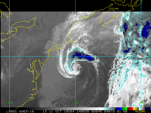
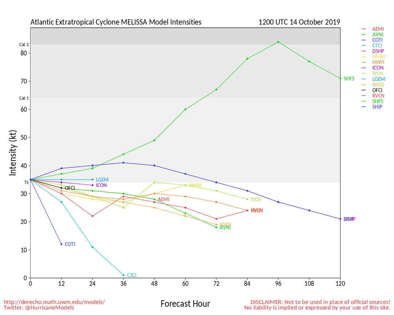
Tropical Storm Melissa continues to move out to sea, it formed from a noreaster, which is a little unusual, but not unheard of.

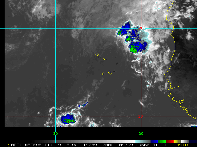
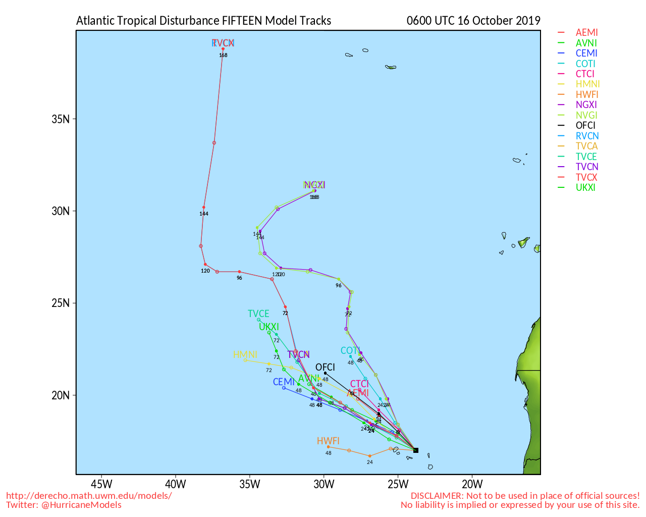
94L is the far east Atlantic off Africa has a higher chance to develop at the moment than the wave in the western Caribbean near Honduras, it wil be worth watching to see if it makes it into the Bay of Campeche or not. We'll be watching that and anything else that pops up.

The area to concentrate on watching the West Caribbean and Gulf this time of year.



Post Extras: Print Post   Remind Me!   Notify Moderator  
Pages: 1


Extra information
0 registered and 2 anonymous users are browsing this forum.

Moderator:  

Print Topic

Forum Permissions
      You cannot start new topics
      You cannot reply to topics
      HTML is disabled
      UBBCode is enabled

Rating:
Topic views: 5713

Rate this topic

Jump to