Current Radar or Satellite Image

Flhurricane.com - Central Florida Hurricane Center - Tracking Storms since 199531 Years of Hurricanes Without the Hype - Since 1995


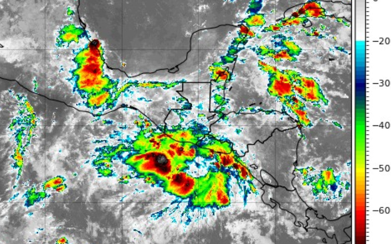
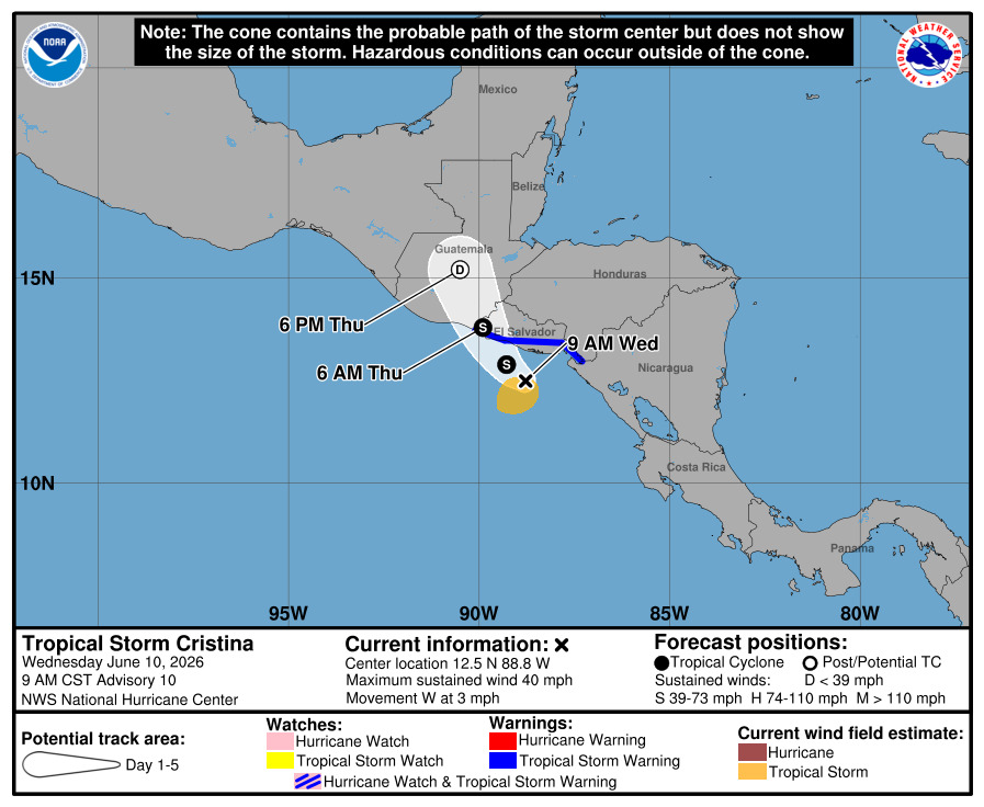
Remnants from E PAC storms are forecast to move into SW Gulf by Friday and have a slight chance of redeveloping there. Rain likely going up in S TX and coastal TX either way.
Days since last Hurricane Landfall — US Any: 609 (Milton), US Major: 609 (Milton), FL Any: 609 (Milton), FL Major: 609 (Milton)
FlHurricane Atlantic Tropical Cyclone Tracking 🌀 Since 1995
None
HypeScale:
0.10
0510
Communication
Storm Data
Content
Follow & Connect


News Talkback >> 2026 News Talkbacks

Jump to first unread post. Pages: 1
CFHCAdministrator


Reged:
Posts: 203
Loc: East Central Florida
First area of Interest in the Atlantic
      #115999 - Wed Jun 10 2026 10:50 AM

The 8am update for the tropical weather outlook now has the first area of interest for the 2026 Atlantic Hurricane season. This area would be the remnants of Cristina in the East Pacific after it crosses Guatemala and Mexico, which has a lot of high mountains. It's overall unlikely to develop, but worth watching in those areas and later on in the Gulf side of Mexico, and rainfall could reach its way into Texas after this. It'll be monitored for mid to late next week, but at this time development chances appear to be very low.


The remnants of east pacific Cristina with some tropical storm warnings up along Guatemala and El Salvador now:


Forecast Lounge discussion for this system in https://flhurricane.com/cyclone/showflat.php?Number=115998&gonew=1#UNREAD


Post Extras: Print Post   Remind Me!   Notify Moderator  
Pages: 1


Extra information
0 registered and 1 anonymous users are browsing this forum.

Moderator:  

Print Topic

Forum Permissions
      You cannot start new topics
      You cannot reply to topics
      HTML is disabled
      UBBCode is enabled

Rating:
Topic views: 38

Rate this topic

Jump to