2:30AM EDT 13, August, 2026 Update
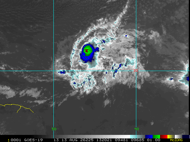
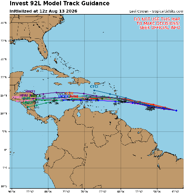
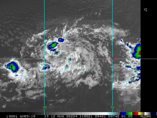
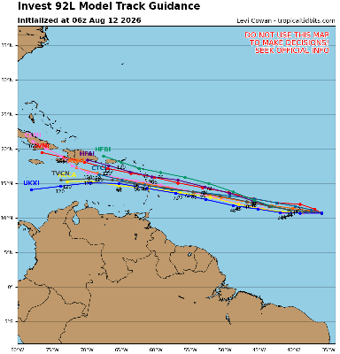
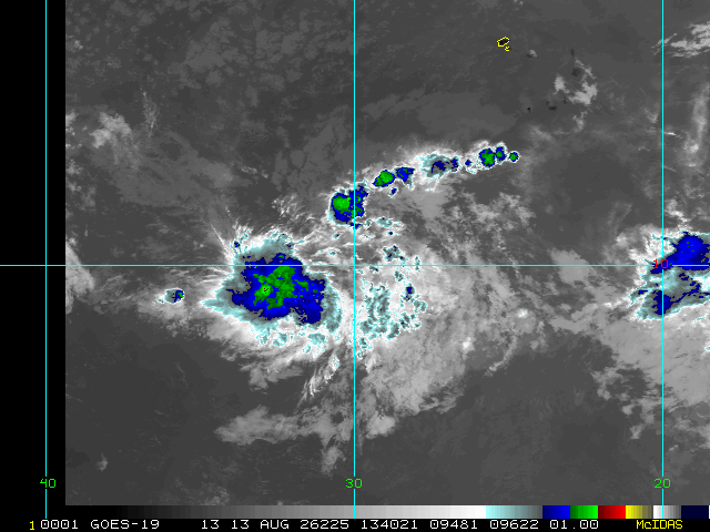
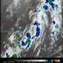
Very challenging conditions for development abound throughout the Atlantic basin. The northernmost feature, a subtropical trof that broke off to the northeast, actually picked up the name Cristobal, and might be the saddest looking tropical storm of the year so far. But, there's still time for a challenger to take that title away. Invests 92L and 94L are trying.
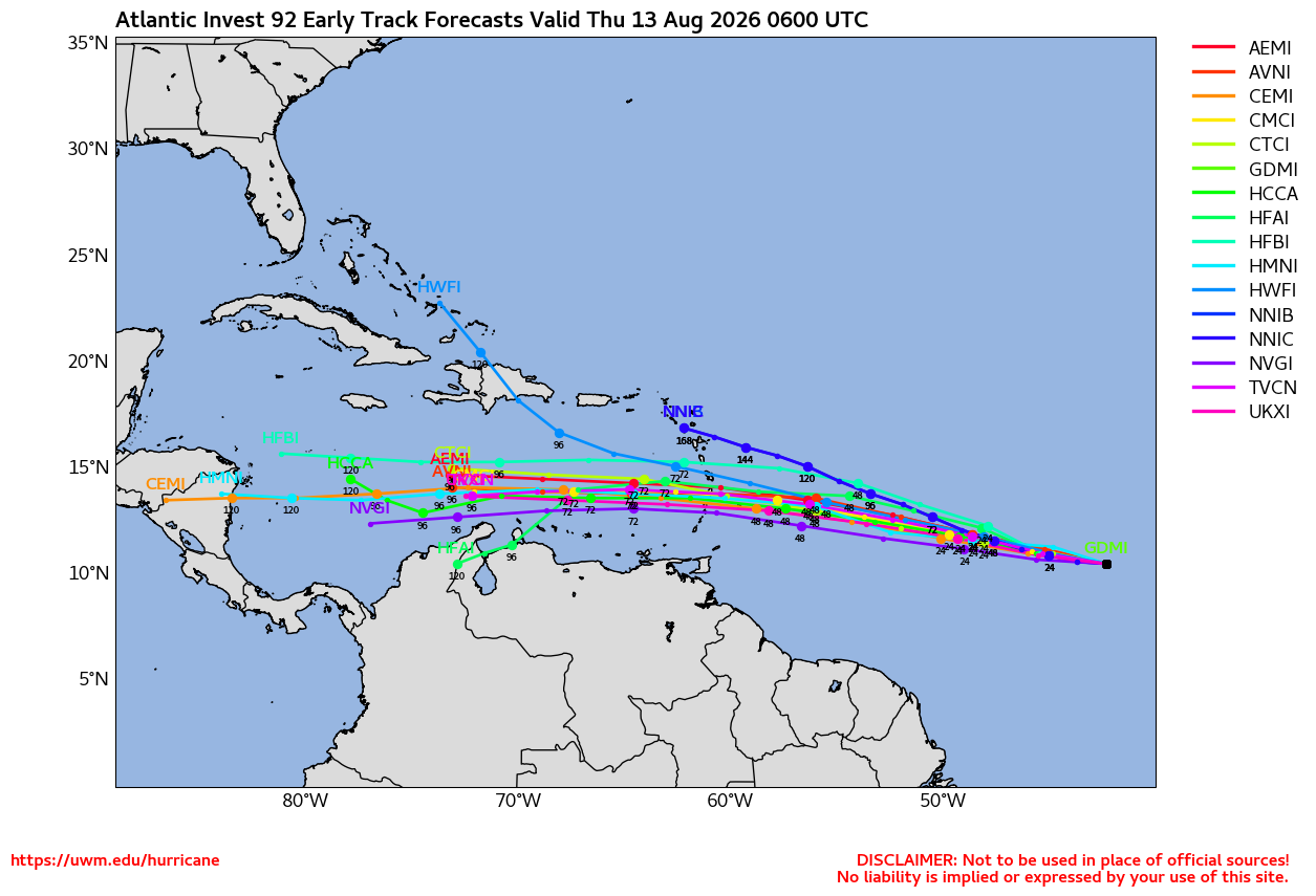
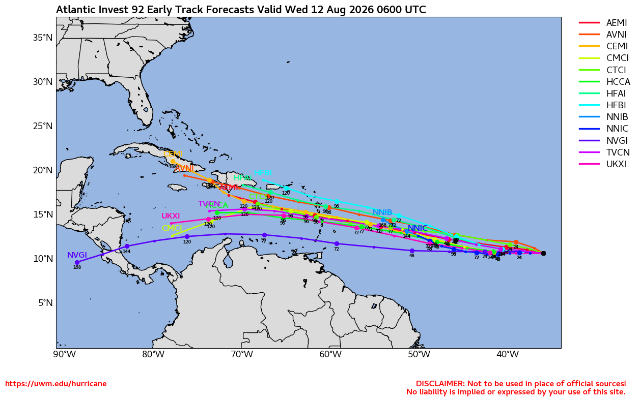
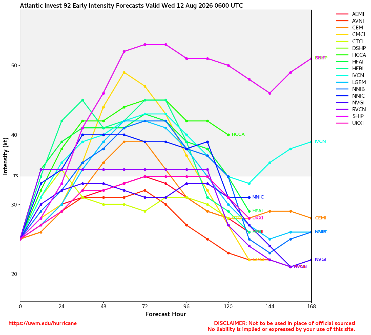
92L has been a borderline TD for at least a half a day now. One could understand if went ahead and numbered it. Models keep backing down on its potential, most now never strengthening it beyond a low-end tropical storm or depression.
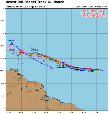
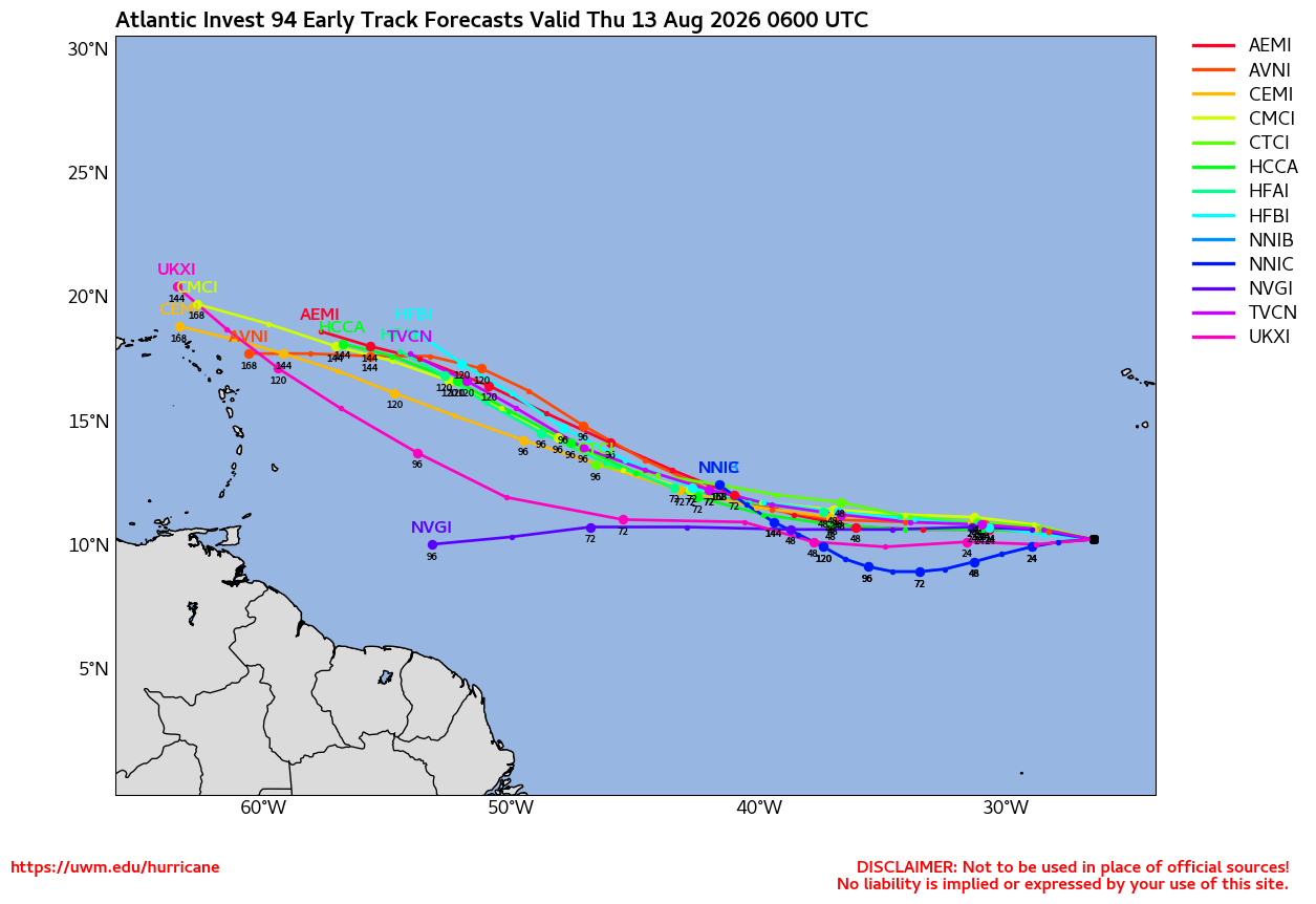
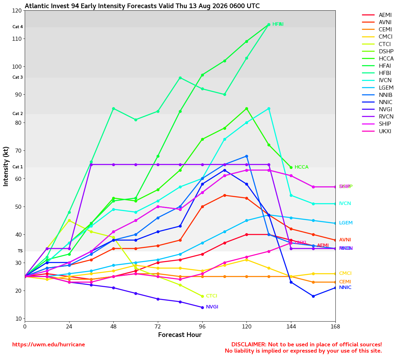
94L is not especially organized still, despite occasionally sporting beefier convection than either 92L or Cristobal. Fewer ensemble models seem to want to develop this one now, also.
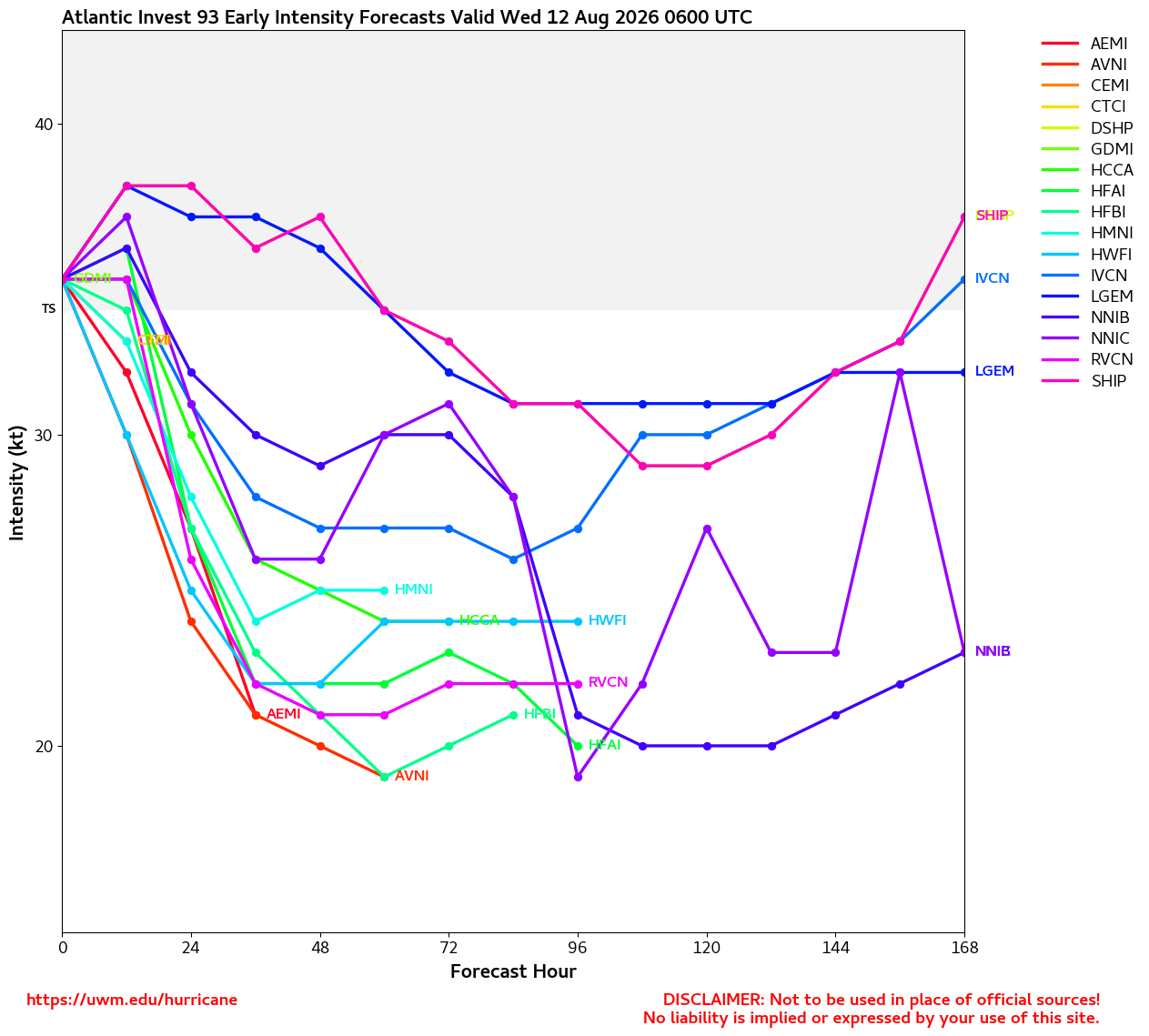
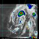
In the central Pacific, all eyes are on Storm One-C, still a "Potential Tropical Cyclone," but one that is already producing winds of tropical storm force. The expectation is that its elongated circulation with presently two vorticity maxima comes together as one and intensifies as it heads towards Hawaii, but this is still a little uncertain. Nonetheless, interests in Hawaii may want to begin paying very close attention, as even if One-C does not organize much more (low chance, but possible), heavy, flooding rains and strong winds will still be likely.
Ciel
Original Update
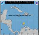
The Atlantic has three areas of interest this morning. The first area is new, the northern one, quickly moving east. It could develop into a short live system before it hits cooler waters. This has a 10% chance according to the National Hurricane Center.
The second area is the leading wave in the Central Atlantic is heading west with a 10% chance also, this one is less likely to develop and if it does likely to hit shear from the ahead of it keeping it from developing, those in the Caribbean will want to watch it still however for around Thursday.
The last area is east of there, south of the Cape Verde islands, with a 60% chance to develop, this one is likely the most prime candidate to develop, however, none of them have been invest tagged yet (this one may get tagged later today or tomorrow). It could be the one that slips through the shear, however more likely to miss the islands to the north. But those in the Caribbean still should watch this coming weekend to Monday if this system is weaker than expected. Bermuda also may want to watch much later for mid to late next week as it could get close. That's currently the most likely scenario right now, but it could change. Watch here or the lounge on flhurricane for a bit more speculation. Lounge thread https://flhurricane.com/cyclone/showflat...;vc=#Post116098 The general high shear environment of el nino is still there, and this system is likely to struggle to develop.
In the Central Pacific, invest CP93 has a 90% chance, and Hawaii should watch closely.
Edited by cieldumort (Thu Aug 13 2026 03:04 AM)



 Previous
 Index
Index
 Next
Next
 Threaded


 Edit
Edit
 Reply
Reply
 Quote
Quote