MikeC
Admin
Reged:
Posts: 4811
Loc: Orlando, FL
|
|
4PM Update 16 September 2018

Slow moving Florence continues unleashing Harvey-like rainfall over much of North and South Carolina, breaking the all-time record for tropical cyclone rainfall in at least North Carolina, and closing in on even national records.
As of 10AM, Wilmington had set an all-time annual rainfall total, at 86.79" (with several months yet to go). The previous annual record for the city was 83.65" set way back in 1877.
Current flood situation has 8 rivers at Major Flood Stage, 8 at Moderate. By Wednesday the forecast is calling for an additional 15 (23 total) rivers in Major Flood Stage, and an additional 5 in Moderate (13 total).
North Carolina transportation authorities continue advising road travelers to go around the state entirely.
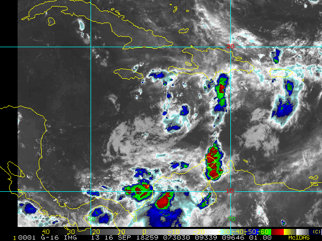
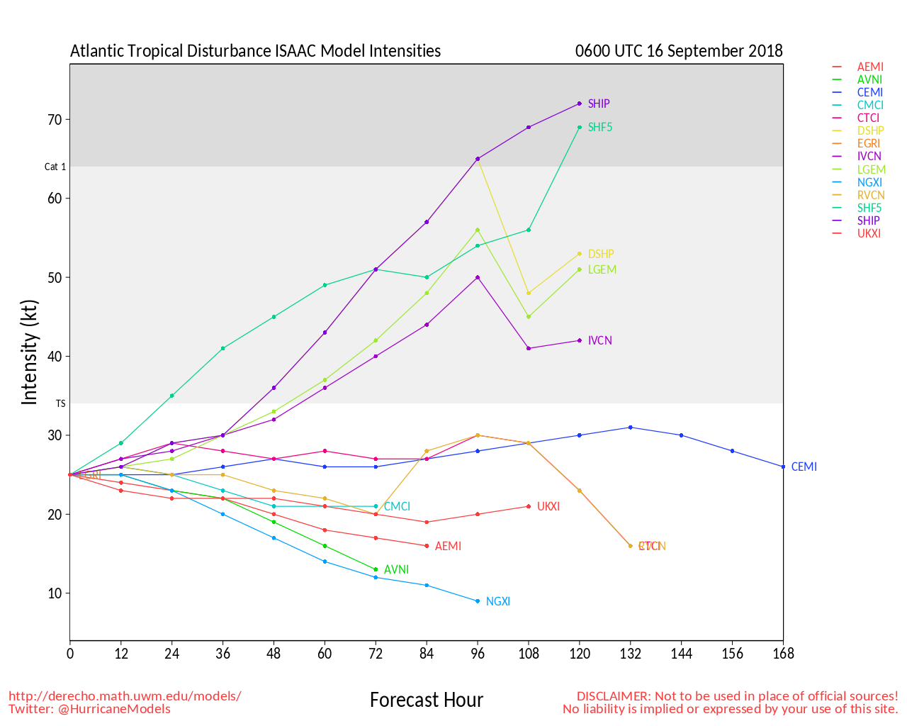
Elsewhere, the remnants of Isaac are being tracked as an Invest (no new Invest number, keeping the same name). This area of disturbed weather has continued to show some signs of organization despite a less than ideal environment for redevelopment, and interests in the northwest Caribbean may want to keep watch. Pockets of heavy rains and gusts to tropical storm force are already occurring.
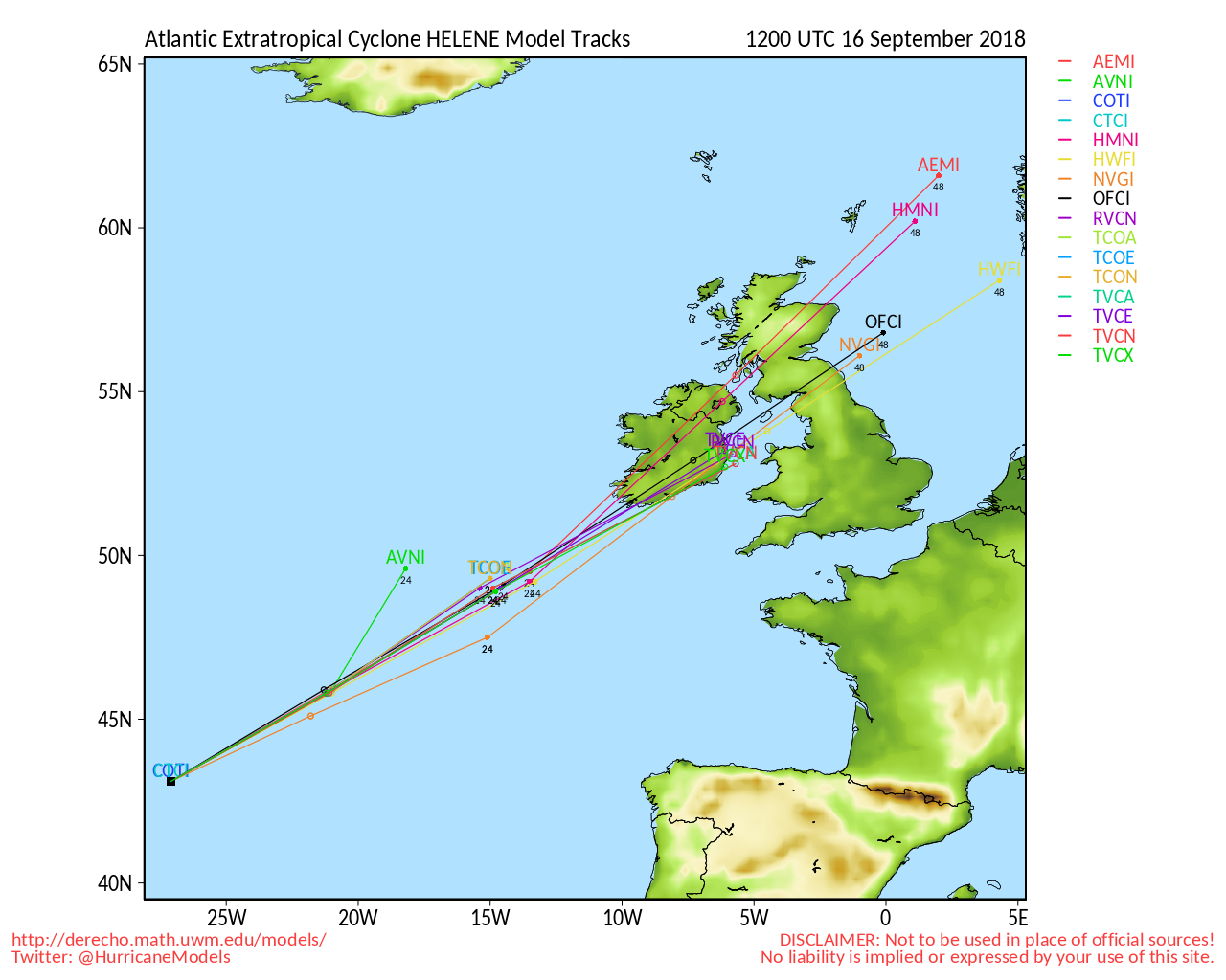
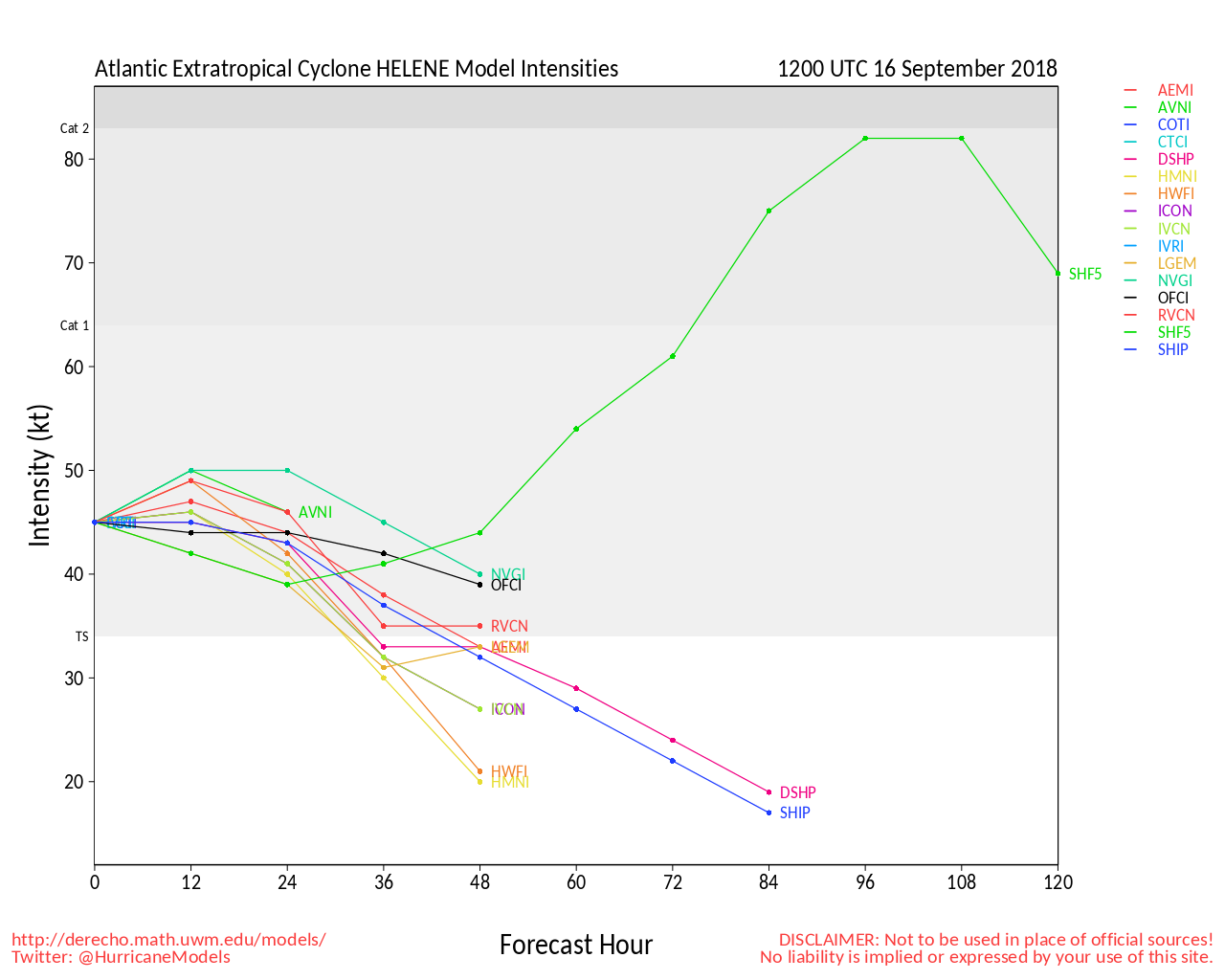
95L has pushed into northern Mexico, after helping deluge parts of coastal south Texas. Joyce and Helene are becoming more fully post-tropical at high latitudes near the Azores.
-Ciel
7AM Update 13 September 2018
Florence looks a bit weaker since last night, but the south side has actually improved overnight, setting it up to maintain or strengthen itself up to landfall, forward motion will begin to slow down today as it approaches the Carolinas. All preparations should have been finished yesterday, as conditions will gradually worsen in the warning areas today, and worsen quickly in the evening.

6PM Update 12 September 2018
Florence has weakened to a category 3 storm today, but the wind field has greatly expanded, meaning the big issue will be the storm surge. Large wind fields and strong winds create a massive set of issues, and will cause rivers to pile up or flow backwards in some cases at times.
Also Subtropical Storm Joyce has formed in the North Atlantic, no threat to land, but currently 4 active Atlantic systems, we could potentially have 5 with the other areas in play.

11PM Update 11 September 2018
Tomorrow, Wednesday, is the last full day to prepare in North and South Carolina. Use it wisely.
Florence is still a major Category 4 hurricane heading west northwest, tomorrow it will move the fastest then slow down as it approaches the coast on Thursday, do not focus on the exact track, but beware anywhere in the cone could feel hurricane force impacts either from wind, rain, surge, or all 3.
If local officials asked for you to evacuate, please do so.
** It is important for folks to realize that significant impacts extend well away from the center of Florence, and serious hazards such as a dangerous storm surge and flooding rains will cover a large area regardless of exactly where the center moves and that there is here is substantial uncertainty in the 3-5 track forecast..**
For information for your particular area pay attention to local media and officials.
For Isaac:
The government of Barbados has issued a Tropical Storm Warning for
Dominica. The Hurricane Watch for Dominica has been discontinued.
The government of France has issued a Tropical Storm Warning for
Martinique and Guadeloupe. The Hurricane Watch for Martinique and
Guadeloupe has been discontinued.
The government of the Netherlands has issued a Tropical Storm Watch
for Saba and St. Eustatius.
9PM Update 11 September 2018
Some interesting changes today with the models, but otherwise the forecast track remains the same. Because of the uncertainty those who have evacuation orders should heed them, even in South Carolina as things could change quickly for you there, but the entire warning area should prepare.

Florence's eye and structure has expanded today, and recon will soon find if the strength has gone up or not . Storm Surge is likely a massive threat with this hurricane for many areas as it is expected to slow down forward motion right before landfall.
Original Update
A Storm Surge Warning has been issued from South Santee River, South Carolina, to Duck, North Carolina, and the Albemarle and Pamlico Sounds, including the Neuse and Pamlico Rivers.
A Hurricane Warning has been issued from South Santee River, South Carolina, to Duck, North Carolina, and the Albemarle and Pamlico Sounds.
A Tropical Storm Watch has been issued from north of the North Carolina/Virginia border to Cape Charles Light, Virginia, and for the Chesapeake Bay south of New Point Comfort.
Florence still approaches, and it appears somewhere near the SC/NC border with the potential to go south toward Charleston OR up to the outer banks as a large category 4 storm Thursday night or very early Friday morning and then potentially slow down. Therefore: A Hurricane Watch has been issued for the east coast of the United States from Edisto Beach, South Carolina, northward to the North Carolina-Virginia border, including the Pamlico and Albemarle Sounds.
Since the threat of storm surge with such a large, powerful hurricane is extreme: A Storm Surge Watch has been issued for the east coast of the United States from Edisto Beach, South Carolina (Just orth of Hilton Head Island) northward to the North Carolina-Virginia border, including the Pamlico and Albemarle Sounds.
In Hawaii Olivia has Tropical Storm Warnings for the majority of the sate, including Oahu and islands east, and Watches for the islands west of there.
There's also Isaac and Helene and 95L that has a 60% chance for development that could impact Texas
Links below: Much more to come later.
Please consult Local officials and local media for the best information for your particular area.
Sites like these are good for deeper dives into the information, but no replacement for official sources!
Check out our twitter feed using the link at the bottom left.
For Florence:
NCDOT Travel info map, cameras, closures, etc
South Carolina DOT Evacuations/Contraflow
South Carolina traffic maps/Traffic Cameras
Webcams:
Surf City pier, Topsail Island, NC
Myrtle Beach
FLhurricane webcam and radar recordings for Florence -- Lots of Cameras linked here
Frying Pan Shoals Live Stream
Florence Flood Event tide sensors from USGS.
NC Regional COD Satellite
For Isaac:
|
cieldumort
Moderator

Reged:
Posts: 2664
Loc: Austin, Tx
|
|
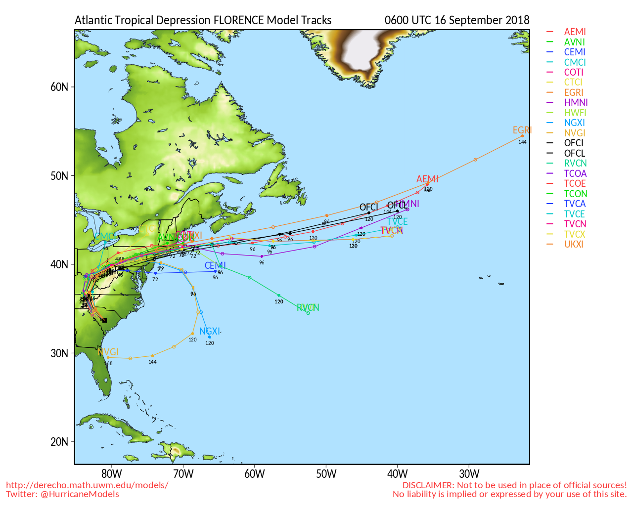
Recon has been tasked to fly Florence, Isaac and 95L tomorrow

|
MikeC
Admin
Reged:
Posts: 4811
Loc: Orlando, FL
|
|
Tomorrow, Wednesday, is the last full day to prepare in North and South Carolina. Use it wisely.
Florence is still a major Category 4 hurricane heading west northwest, tomorrow it will move the fastest then slow down as it approaches the coast on Thursday, do not focus on the exact track, but beware anywhere in the cone could feel hurricane force impacts either from wind, rain, surge, or all 3.
If local officials asked for you to evacuate, please do so.
** It is important for folks to realize that significant impacts extend well away from the center of Florence, and serious hazards such as a dangerous storm surge and flooding rains will cover a large area regardless of exactly where the center moves and that there is here is substantial uncertainty in the 3-5 track forecast..**
For information for your particular area pay attention to local media and officials.
|
MikeC
Admin
Reged:
Posts: 4811
Loc: Orlando, FL
|
|
I've added a bunch of webcam recordings to http://flhurricane.com/cyclone/animationlist.php?year=all&tag=Florence+%282018%29
It's on 30 minute snapshot intervals right now, but will be increased tomorrow when conditions start to deteriorate.
|
MikeC
Admin
Reged:
Posts: 4811
Loc: Orlando, FL
|
|
Strong indicator that Florence will be an extreme storm surge event:
from :
Wave heights to 83 ft were measured early this morning under the NE quadrant of Hurricane Florence. These enormous waves are produced by being trapped along with very strong winds moving in the same direction the storm's motion.
|
MikeC
Admin
Reged:
Posts: 4811
Loc: Orlando, FL
|
|
Probably the best satellite link for the Florence approach
https://weather.cod.edu/satrad/exper/?pa...orbar=undefined
There are other good links also, but this one is in a good setup for the approach and impact.
|
JMII
Weather Master

Reged:
Posts: 547
Loc: Cape Coral & Margate, FL
|
|
For the last few hurricanes down here in FL I found https://www.wunderground.com/wundermap to be very helpful as it contains the projected path as layer on top of the radar and/or satellite images. This allows you to see course deviations in real time. I just wish it had lat / lon lines too.
--------------------
South FL Native... experienced many tropical systems, put up the panels for:
David 79 - Floyd 87 - Andrew 92 - Georges 98 - Frances 04 - Wilma 05 - Matthew 16 - Irma 17
Lost our St James City rental property to Ian 22
|
cieldumort
Moderator
Reged:
Posts: 2664
Loc: Austin, Tx
|
|
|
cieldumort
Moderator
Reged:
Posts: 2664
Loc: Austin, Tx
|
|
Current recon mission (it's now 3:42 AST), supports the idea that Florence may be Cat 2. Also see the Lounge for some screenshots of earlier buoy reports with very stout gusts.
Quote:
Product: Air Force Vortex Message (URNT12 KNHC)
Transmitted: 14th day of the month at 6:15Z
Agency: United States Air Force
Aircraft: Lockheed WC-130J Hercules with reg. number AF96-5302
Storm Number & Year: 06 in 2018
Storm Name: Florence (flight in the North Atlantic basin)
Mission Number: 17
Observation Number: 03
A. Time of Center Fix: 14th day of the month at 5:52:50Z
B. Center Fix Coordinates: 34.05N 77.17W
B. Center Fix Location: 44 statute miles (71 km) to the ESE (106°) from Wilmington, NC, USA.
C. Minimum Height at Standard Level: 2,723m (8,934ft) at 700mb
D. Minimum Sea Level Pressure: 956mb (28.23 inHg)
E. Dropsonde Surface Wind at Center: From 320° at 6kts (From the NW at 7mph)
F. Eye Character: Open in the east
G. Eye Shape & Diameter: Circular with a diameter of 28 nautical miles (32 statute miles)
H. Estimated (by SFMR or visually) Maximum Surface Wind Inbound: 73kts (84.0mph)
I. Location & Time of the Estimated Maximum Surface Wind Inbound: 8 nautical miles to the SW (233°) of center fix at 5:50:30Z
J. Maximum Flight Level Wind Inbound: From 316° at 73kts (From the NW at 84.0mph)
K. Location & Time of the Maximum Flight Level Wind Inbound: 16 nautical miles (18 statute miles) to the SW (231°) of center fix at 5:48:30Z
L. Estimated (by SFMR or visually) Maximum Surface Wind Outbound: 84kts (96.7mph)
M. Location & Time of the Estimated Maximum Surface Wind Outbound: 45 nautical miles (52 statute miles) to the NE (50°) of center fix at 6:06:30Z
N. Maximum Flight Level Wind Outbound: From 143° at 100kts (From the SE at 115.1mph)
O. Location & Time of the Maximum Flight Level Wind Outbound: 51 nautical miles (59 statute miles) to the NE (50°) of center fix at 6:08:00Z
P. Maximum Flight Level Temp & Pressure Altitude Outside Eye: 12°C (54°F) at a pressure alt. of 3,037m (9,964ft)
Q. Maximum Flight Level Temp & Pressure Altitude Inside Eye: 17°C (63°F) at a pressure alt. of 3,055m (10,023ft)
R. Dewpoint Temp (collected at same location as temp inside eye): 13°C (55°F)
R. Sea Surface Temp (collected at same location as temp inside eye): Not Available
S. Fix Determined By: Penetration, Radar, Wind, Pressure and Temperature
S. Fix Levels (surface & flight level centers within 5nm of each other): Surface and 700mb
T. Navigational Fix Accuracy: 0.02 nautical miles
T. Meteorological Accuracy: 2 nautical miles
Remarks Section:
Maximum Flight Level Wind: 100kts (~ 115.1mph) which was observed 51 nautical miles (59 statute miles) to the NE (50°) from the flight level center at 6:08:00Z
Maximum Flight Level Temp: 18°C (64°F) which was observed 7 nautical miles to the NE (43°) from the flight level center
|
cieldumort
Moderator
Reged:
Posts: 2664
Loc: Austin, Tx
|
|
|
MikeC
Admin
Reged:
Posts: 4811
Loc: Orlando, FL
|
|
I'm not liking the radar, it's moving southwest and is very likely to emerge offshore again.
|
JMII
Weather Master
Reged:
Posts: 547
Loc: Cape Coral & Margate, FL
|
|
Flo appears to have basically stalled just SW of Wilmington. Movement is painfully slow to WNW. The eye has filled in and winds are down to 80, but its just pumping rain and surge up into the Morehead City area. That area appears to have already gotten radar estimated amounts of over 10" of rain.
|
Joeyfl
Weather Guru

Reged:
Posts: 133
Loc: St.Pete,FL
|
|
Outside Issac making possible comeback we may see a lull for couple weeks, however end of the month into October could become active once again according to JMA weeklies. Euro also showing possible favorable pattern for October specifically Gulf coast and maybe east coast. Interesting to note the Euro ensemble mean was less than 100 mi at 7 days with Florence! Amazing indeed.
|
cieldumort
Moderator
Reged:
Posts: 2664
Loc: Austin, Tx
|
|
|
cieldumort
Moderator
Reged:
Posts: 2664
Loc: Austin, Tx
|
|
|
danielw
Moderator

Reged:
Posts: 3527
Loc: Hattiesburg,MS (31.3N 89.3W)
|
|
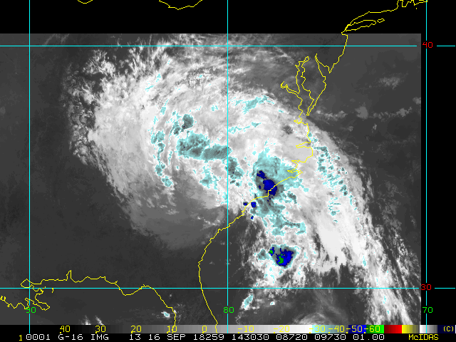
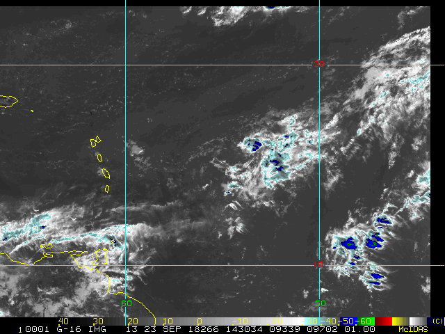
Remnants of Isaac approaching Jamaica tonight.
System still has a bit of spin to it.

|


 Threaded


