New Article: CSU releases 2026 season numbers, slightly below average. https://flhurricane.com
Days since last Hurricane Landfall —
US Any:
569 (Milton),
US Major:
569 (Milton),
FL Any:
569 (Milton),
FL Major:
569 (Milton)
meranto
Verified CFHC User
Reged:
Posts: 12
Loc: Ridderkerk, Netherlands (51.52...
|
 Zoe
Zoe
Mon Sep 26 2005 11:44 AM
|
|
|
I found a cyclone in the South Pacific that underwent an extreme intensification. Since there is very little information about South Pacific cyclones, and even less about Indian Ocean cyclones, I think this might be somehow overlooked.
Cyclone Zoe
This girl went up from 95 kts to 155 kts in just 6 hours. Since there are no pressure readings about this one, we have to settle for the increase in wind, which equals 10 kts per hour.
Compared to the NHC-favorite Forrest, which went up 30 kts in 6 hours and a total of 85 kts in 24 hours, this will result in the following table:
Code:
Cyclone    Rate
-----------------------------------------------------------
Forrest    5 kts/h (6 hours) / 3.54 kts/h (24 hours)
Zoe        10 kts/h
I think that if one could estimate the pressures that usually match these windspeeds that a much more impressive pressure drop will be found at Zoe than any other storm listed.
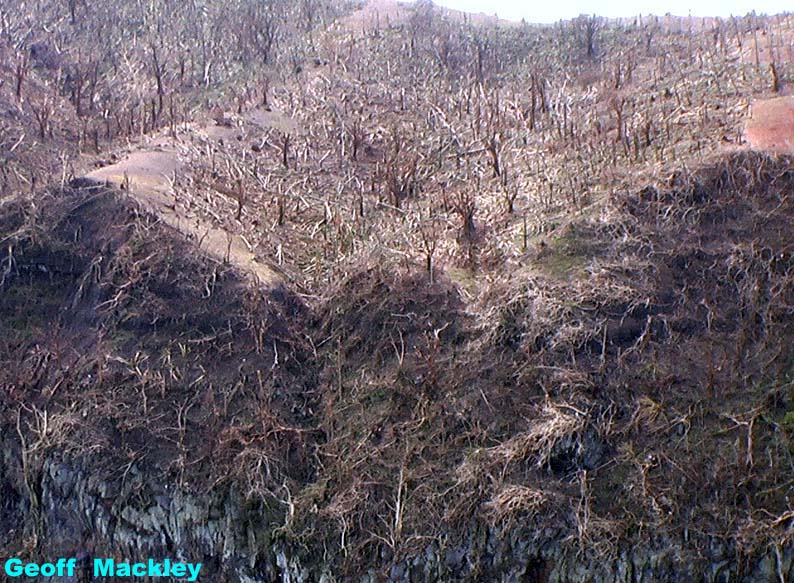
I can also not examine the accuracy of these readings, but seeing the pictures of the completely demolished, trashed, ravaged and flattened island of Tikopia one can only conclude that a very powerfull (cat 5) storm hit this island 6 hours after the 95 kts estimate.
|
|
0 registered and 0 anonymous users are browsing this forum.
Moderator:
|
Forum Permissions
You cannot start new topics
You cannot reply to topics
HTML is disabled
UBBCode is enabled
|
Rating:
Thread views: 11734
|
|
|
|
|
|
Note: This is
NOT an official page. It is run by weather hobbyists and should not be used as a replacement for official sources.
CFHC's main servers are currently located at
Hostdime.com in Orlando, FL.
Image Server Network thanks to Mike Potts and Amazon Web Services. If you have static file hosting space that allows dns aliasing contact us to help out! Some Maps Provided by:
Great thanks to all who
donated and everyone who uses the site as well.
Site designed for 800x600+ resolution
When in doubt, take the word of the
National Hurricane Center
G


 Flat
Flat


