Current Radar or Satellite Image

Flhurricane.com - Central Florida Hurricane Center - Tracking Storms since 199531 Years of Hurricanes Without the Hype - Since 1995


Arthur degenerates to a low pressure area.
Days since last Hurricane Landfall — US Any: 616 (Milton), US Major: 616 (Milton), FL Any: 616 (Milton), FL Major: 616 (Milton)
FlHurricane Atlantic Tropical Cyclone Tracking 🌀 Since 1995
29.7N -94.5W
Wind: 35MPH
Pres: 1000mb
Moving:
Present movement...ne or 40 degrees at 9 mph...15 km/h
Click for Storm Spotlight
HypeScale:
1.10
0510
Communication
Storm Data
Content
Follow & Connect


General Discussion >> Other Storm Basins

cieldumort
Moderator


Reged:
Posts: 2705
Loc: Austin, Tx
Hurricane Lorena (Potential SW US impacts)
      Wed Sep 03 2025 11:17 AM


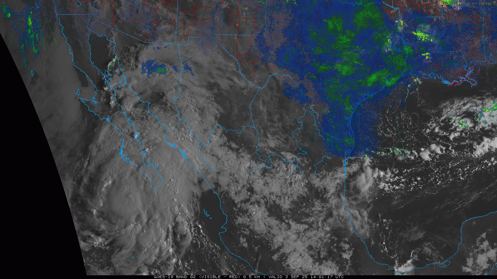
Eastern Pacific Lorena has become a hurricane and continues to enjoy conditions favorable for continued strengthening. As such, models that have predicted a deeper and more coherent cyclone (GFS, HWRF, HMON, HAFS, others), which thus also strongly favor a track towards into and potentially across mainland northwestern Mexico are now much more in play and likely to verify than those that predicted a shallower, weaker system with a track either west out to colder water/dissipating near or over the Baja (ECMWF, GDPS, ICON, others).

Considering the potential for significant water impacts to portions of the southwestern US, we are now starting a de facto Other Storm Basins "Lounge" on Hurricane Lorena.

Post Extras Print Post   Remind Me!     Notify Moderator


Entire topic
Subject Posted by Posted on
* Hurricane Lorena (Potential SW US impacts) cieldumort Wed Sep 03 2025 11:17 AM
. * * Re: Hurricane Lorena (Potential SW US impacts) cieldumort   Wed Sep 03 2025 11:40 AM

Extra information
0 registered and 0 anonymous users are browsing this forum.

Moderator:  


Forum Permissions
      You cannot start new topics
      You cannot reply to topics
      HTML is disabled
      UBBCode is enabled

Rating:
Thread views: 4120

Rate this thread

Jump to