Flhurricane.com - Central Florida Hurricane Center - Tracking Storms since 1995
31 Years of Hurricanes Without the Hype - Since 1995
Login
New Visitor
Atlantic is quiet again.
Current Storms
No active storms.
Days since last Hurricane Landfall — US Any:
660 (
Milton
)
, US Major:
660 (
Milton
)
, FL Any:
660 (
Milton
)
, FL Major:
660 (
Milton
)
FlHurricane
Atlantic Tropical Cyclone Tracking
🌀 Since 1995
News
Main Page
News Only
Met Blogs
News Archives
Search
⚠ Current Storms
None
HypeScale
:
0.03
0
5
10
Communication
Forum
(
Newest
)
Donations & Thanks
Storm Data
Maps & Coordinates
Image Recordings
Forecast Models
Recon Info
More Recon
Hurricane Radar
Content
General Info
Site Links
Data Links
Site Usage Tips
Text WX Data
CFHC Data Feeds
About CFHC
Mobile Site
Follow & Connect
🌎 National Hurricane Center
Login to remove ads
You are not logged in. [
Login
]
Other Forums
·
Search
·
Active Topics
New user
·
Who's Online
·
FAQ
·
Rules
·
Calendar
Archives 2020s
>>
2025 Forecast Lounge
Previous
Index
Next
Flat
cieldumort
Moderator
Reged:
Posts: 2738
Loc: Austin, Tx
Re: 95L Lounge
Sun Oct 05 2025 07:40 AM
Edit
Reply
Quote
Quick Reply
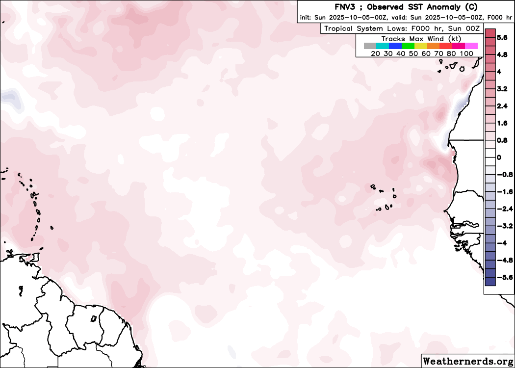
Today's 0z Google DeepMind ensembles continue to favor a track out to sea prior to reaching the Antilles, which looks most likely, especially given how well developed 95L already is.
Post Extras
Entire topic
Subject
Posted by
Posted on
Jerry Lounge
cieldumort
Sun Oct 05 2025 07:40 AM
Re: 95L Lounge
cieldumort
Sun Oct 05 2025 07:40 AM
Re: Early October E ATL Wave
cieldumort
Fri Oct 03 2025 12:45 PM
Re: Early October E ATL Wave
cieldumort
Thu Oct 02 2025 11:27 PM
Extra information
0 registered and 3 anonymous users are browsing this forum.
Moderator:
CFHC
,
MikeC
,
Ed Dunham
,
Colleen A.
,
Atricks
,
danielw
,
Clark
,
Christine H
,
RedingtonBeachGuy
,
SkeetoBite
,
Bloodstar
,
tpratch
,
typhoon_tip
,
cieldumort
,
Jackie M
,
Wigeon
,
Hank Buck
Forum Permissions
You cannot start new topics
You cannot reply to topics
HTML is disabled
UBBCode is enabled
Rating:
Thread views: 5496
Rate this thread
Choose rating
1 star
2 star
3 star
4 star
5 star
Jump to
*News Talkback* -----
2026 News Talkbacks
*General Discussion* -----
2026 Forecast Lounge
2026 Storm Forum
The Tropics Today
Other Storm Basins
Hurricane History
Hurricane Ask/Tell
Site Updates, Suggestions and Questions
Disaster Forum
*General Discussion* -----
Comedy Shop
Everything and Nothing
Other Weather Events
*Weather Bloggers* -----
Blogger Discussion
Resident Meteorologist Discussions
Weather Blog Bios/Links
*Archives 2020s* -----
2022 News Talkbacks
2022 Storm Forum
2022 Forecast Lounge
2023 News Talkbacks
2023 Forecast Lounge
2023 Storm Forum
2024 News Talkbacks
2024 Forecast Lounge
2024 Storm Forum
2025 News Talkbacks
2025 Forecast Lounge
2025 Storm Forum
2021 News Talkbacks
2020 News Talkbacks
*Archives 2010s* -----
2015 News Talkbacks
2015 Storm Forum
2017 Forecast Lounge
2015 Forecast Lounge
2013 Storm Forum
2013 Forecast Lounge
2012 Storm Forum
2012 Forecast Lounge
2011 News Talkbacks
2016 News Talkbacks
2017 News Talkbacks
2018 News Talkbacks
2019 News Talkbacks
2013 News Talkbacks
2014 News Talkbacks
2010 News Talkbacks
2010 Storm Forum
2010 Forecast Lounge
*Archives 2002-2009* -----
2009 Storm Forum
2009 Forecast Lounge
2008 News Talkbacks
2008 Storm Forum
2008 Forecast Lounge
2007 News Talkbacks
2007 Storm Forum
2006 Storm Forum
2006 Forecast Lounge
2005 News Talkbacks
2005 Storm Forum
2004 News Talkbacks
2003 Storm Forum
2002 News Articles and Talkback
2002 Storm Forum


 Flat
Flat