Current Radar or Satellite Image

Flhurricane.com - Central Florida Hurricane Center - Tracking Storms since 199531 Years of Hurricanes Without the Hype - Since 1995


TWO-C MAY BRING RAIN AND GUSTY WINDS TO THE HAWAIIAN ISLANDS WITHIN THE NEXT SEVERAL DAYS
Days since last Hurricane Landfall — US Any: 680 (Milton), US Major: 680 (Milton), FL Any: 680 (Milton), FL Major: 680 (Milton)
FlHurricane Atlantic Tropical Cyclone Tracking 🌀 Since 1995
None
HypeScale:
2.50
0510
Communication
Storm Data
Content
Follow & Connect


General Discussion >> 2026 Forecast Lounge

cieldumortModerator
Moderator


Reged:
Posts: 2776
Loc: Austin, Tx
New East ATL Wave Invest TBD
      Fri Aug 21 2026 03:44 PM


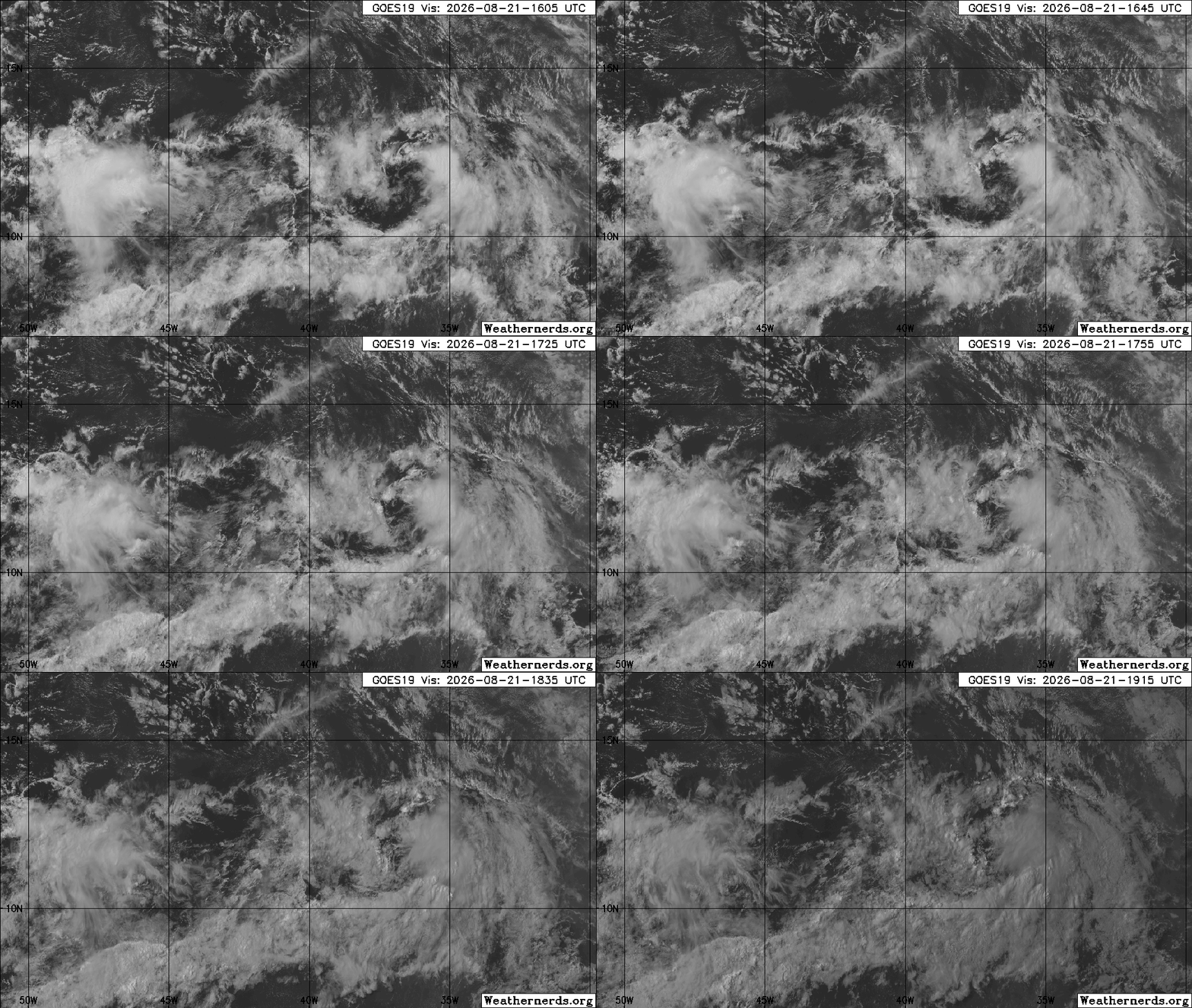
Image credit: Weathernerds.org

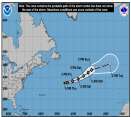
Odds are that this feature will also run into a wall of doom like the last few tropical waves before, that were not only Invest-tagged, but also given probable to likely chances of development. However, this is a stout wave and is, at least for the moment, in a marginally favorable region of lower shear and less dry air for development.

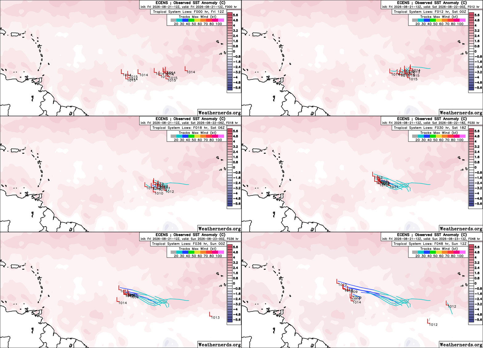
Model support is very low to non-existent.


Centered near 11.4N 36.8W
Something worth monitoring as it is heading west and not east. It may get a mention in the evening NHC Tropical Weather Update and has a low chance of becoming a brief TD or weak storm before probably encountering too much shear.


Today's 12 ECENS out to 48 Hrs. Image credit: Weathernerds.org

Post Extras Print Post   Remind Me!     Notify Moderator


Entire topic
Subject Posted by Posted on
* New East ATL Wave Invest TBD cieldumortModerator Fri Aug 21 2026 03:44 PM

Extra information
0 registered and 0 anonymous users are browsing this forum.

Moderator:  CFHC, MikeC, Ed Dunham, Colleen A., Atricks, danielw, Clark, Christine H, RedingtonBeachGuy, SkeetoBite, Bloodstar, tpratch, typhoon_tip, cieldumort, Jackie M, Wigeon, Hank Buck 


Forum Permissions
      You cannot start new topics
      You cannot reply to topics
      HTML is disabled
      UBBCode is enabled

Rating:
Thread views: 34

Rate this thread

Jump to