Current Radar or Satellite Image

Flhurricane.com - Central Florida Hurricane Center - Tracking Storms since 199531 Years of Hurricanes Without the Hype - Since 1995


No new tropical cyclone development expected in the Atlantic near term
Days since last Hurricane Landfall — US Any: 622 (Milton), US Major: 622 (Milton), FL Any: 622 (Milton), FL Major: 622 (Milton)
FlHurricane Atlantic Tropical Cyclone Tracking 🌀 Since 1995
None
HypeScale:
0.01
0510
Communication
Storm Data
Content
Follow & Connect


Archives 2010s >> 2018 News Talkbacks

Jump to first unread post. Pages: 1
cieldumort
Moderator


Reged:
Posts: 2705
Loc: Austin, Tx
September Begins Looking Unlike August
      #99425 - Sat Sep 01 2018 04:49 AM

8:30 PM EDT 1 September 2018 Update


Original Entry
After an especially subdued August in the Atlantic, which can occur with the month of September still ending up very active (See 1961 2002 and 2003), we start the new month with conditions for development much different than last, with considerably warmer SSTs in the Tropical Atlantic, and far less inhibiting Saharan dust over the entire North Atlantic. In addition, African Easterly Waves appear to be lining up.

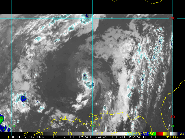
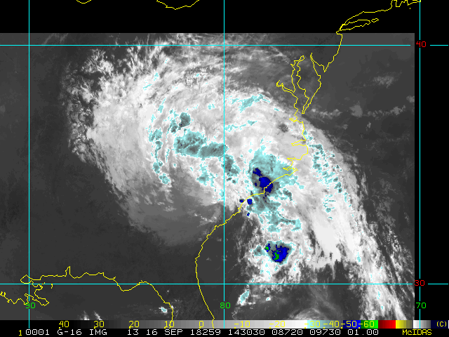
So it goes without saying that because we got a break in August is by no means reason to let ones guard down as we now enter the very climatological peak of the Atlantic Hurricane Season. And as climatology would have it, we are now watching one tropical storm in the far eastern Atlantic (Florence) and a tropical wave set to enter what could be a fairly favorable state in the Gulf of Mexico next week.

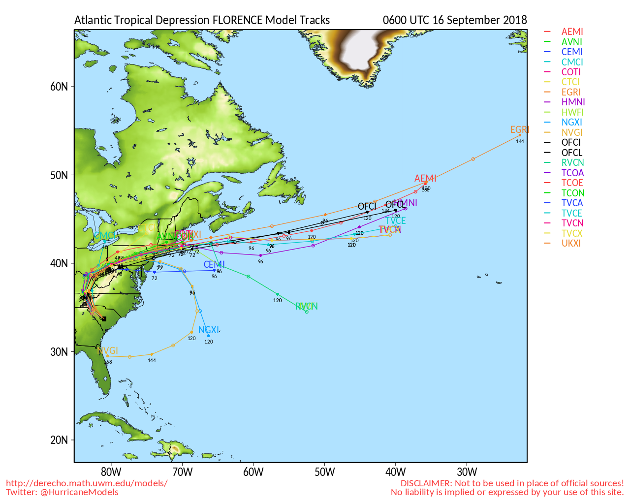
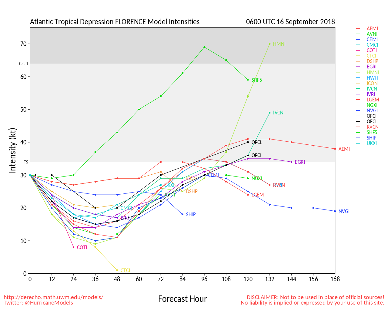
Interesting model outputs on both of these, and with reason to keep watch. You can read and discuss more on the model runs of both in the Forecast Lounge:

Tropical Storm Florence Forecast Lounge and also Labor Day Week Gulf Low Forecast Lounge


Edited by MikeC (Mon Sep 03 2018 08:10 AM)


Post Extras: Print Post   Remind Me!   Notify Moderator  
cieldumort
Moderator


Reged:
Posts: 2705
Loc: Austin, Tx
Re: September Begins Looking Unlike August [Re: cieldumort]
      #99427 - Sat Sep 01 2018 06:09 AM


ECMWF TD Probability 24-72 Hours out (Image credit: Weathermodels.com)


Post Extras: Print Post   Remind Me!   Notify Moderator  
MikeCAdministrator
Admin


Reged:
Posts: 4833
Loc: Orlando, FL
Re: September Begins Looking Unlike August [Re: cieldumort]
      #99447 - Sun Sep 02 2018 12:21 PM

NW Caribbean Radar recording to help track 91Ls position.
http://www.barbadosweather.org/Composite...Apes=1535905027


flhurricane recording of it (just started, it will take a bit to fill) http://flhurricane.com/imageanimator.php?372


Post Extras: Print Post   Remind Me!   Notify Moderator  
MikeCAdministrator
Admin


Reged:
Posts: 4833
Loc: Orlando, FL
Re: September Begins Looking Unlike August [Re: MikeC]
      #99456 - Mon Sep 03 2018 07:21 AM

This morning 7 is approaching Islamorada in the Florida Keys, building, but not quite with a low level circulation quite yet. There is an upper level low to the southwest that is probably slowing that down, but at the same time feeding mid level moisture into it. That low is moving away, and there are hints of west winds on radar and a few stations south of Islamorada. I suspect it'll develop around noon. Conditions are mixed for strengthening, but odds favor it staying a tropical storm before landfall.

The small size of the system does have potential for a round of strengthening tomorrow morning before landfall, so it'll have to be watched closely then, but the NHC's forecast is fairly decent.


Post Extras: Print Post   Remind Me!   Notify Moderator  
Pages: 1


Extra information
0 registered and 0 anonymous users are browsing this forum.

Moderator:  

Print Topic

Forum Permissions
      You cannot start new topics
      You cannot reply to topics
      HTML is disabled
      UBBCode is enabled

Rating:
Topic views: 11220

Rate this topic

Jump to