4AM EDT Update 8 July 2018
TD3 has become Tropical Storm Chris. Chris is expected to become a hurricane, and possibly a formidable one, while over the Gulf Stream.
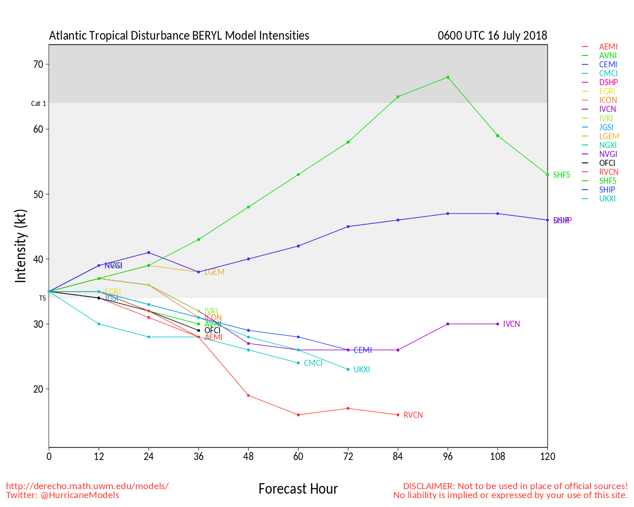
Beryl has been re-firing convection overnight in response to some westerly shear. Sometimes this can help a fledgling tropical cyclone get itself together (or together again, in the case of Beryl), and so deserves to be monitored. Interests in the Lesser Antilles should still prepare for tropical storm conditions possibly affecting some portion or portions of the islands later tonight and/or Monday.
-Ciel

4:30PM EDT Update 6 July 2018
Invest 96L has become TD 3 a few hundred miles southeast of the North Carolina coast. The cyclone may pull up nearly stationary, or just meander, and cook, over anomalously warm waters in this region for several days. A potential significant threat if it turns toward the U.S., and needs to be watched.
- Ciel
11AM EDT Update 6 July 2018
Beryl is gaining strength today and its small size has insulated it from a lot of the negative effects. The official forecast now keeps it a hurricane into the East Caribbean before weakening in the Caribbean.
Hurricane watches could be required for some islands in the Lesser Antilles by tonight. Tropical-storm-force winds are likely to begin over some of the islands by Sunday evening.
Meanwhile 96L near the NC coast could form this weekend or early next week.
Those in the Lesser Antilles should now pay very close attention to Beryl, and those in North Carolina should be monitoring the wave 96L closely.
5AM EDT Update 6 July 2018

Tiny Tropical Cyclone Beryl becomes Hurricane Beryl, the first Hurricane of the 2018 Atlantic Hurricane Season, while at a very south latitude in the Tropical Atlantic.
Elsewhere, recently Invest-tagged 96L off the southeast U.S. continues organizing, and may get listed as a Potential Tropical Cyclone, TD, or even a named storm as soon as later today, perhaps necessitating Watches and/or Warnings along parts of the east coast over the weekend and/or early next week.
For in-depth Beryl model talk and more, go beyond the cone with us in the Hurricane Beryl Lounge.
For 96L model talk and more check out the Invest 96L Lounge
-Ciel
2:30PM EDT Update 5 July 2018
Tropical Depression Two becomes Tropical Storm Beryl.
Noon Update 5 July 2018
Tropical Depression two forms in the East Atlantic, but expected to dissipate before reaching the Caribbean.
Original Update
The Atlantic Tropics are starting to show some signs of life this July, although nothing is an imminent threat to land.
First an area southeast of Bermuda that has a low, 20% chance to develop, but would remain out to sea.
Another is the area in the East Atlantic, being tracked as 95L tonight, this also has a 20% chance to develop, but will run against some unfavorable conditions.later in the week, however ultimately it may develop beyond that, so its worth watching, some models turn it into a tropical storm next week..
July expands the area we watch for development, but typically activity doesn't pick up to a serious degree until mid to late August. However, July storms can happen so we'll be watching.
Activity in the Atlantic has been fairly sparse so far this year, with the Pacific being much more active, a sign that El Nino may be a factor this year.


 Threaded


