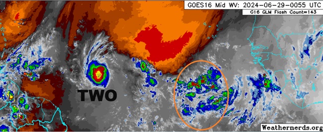
Above: TCTWO (left) and Invest TBD to its east (circled in orange)
The third feature in the Atlantic basin we are closely monitoring this week is a wave running not far behind newly designated TD2 that will probably be Invest tagged over the weekend if current satellite and model trends continue, which they appear likely to do with already 0%/40% NHC odds for TC genesis. The next Invest number on the 90-99 list coming up is 96L.
Invest TBD is sharing the same favorable upper level anticyclone that TWO (Lounge) is ahead of it, imparting mild to at worst modest shear. Dry air that exists has continued to get shunted effectively to the north of the convection and SSTs are anomalously warm throughout the Tropical Atlantic, although there could be some slight cooling left in the wake of leading tropical cyclone, TWO.
Modeling suggests that as the wave develops, it should be able to continue to effectively wall off any critical amounts of dry air, and could in fact become quite moist. This may serve to offset some of the weakness that may become evident in the wake of TWO. It is also possible that there not be much of a cool pool to speak of, given the well above average water temps that exist.
This system looks to impact the Lesser Antilles by the middle of next week, and may be yet another named tropical cyclone when it does. The title will get updated as warranted.
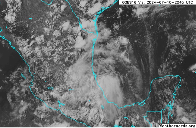
06/30/24 This feature is now Invest tagged, 96L, and the title has been updated accordingly.
Ciel
0z Euro doesn't really develop 96L, but what it has trails Beryl.
0z GFS has it corssing Hispaniola and going out to sea after that, but the 6z GFS has it clipping Jamaica, crossing western Cuba and eventually to western Louisiana.


 Threaded