Flhurricane.com - Central Florida Hurricane Center - Tracking Storms since 199531 Years of Hurricanes Without the Hype - Since 1995
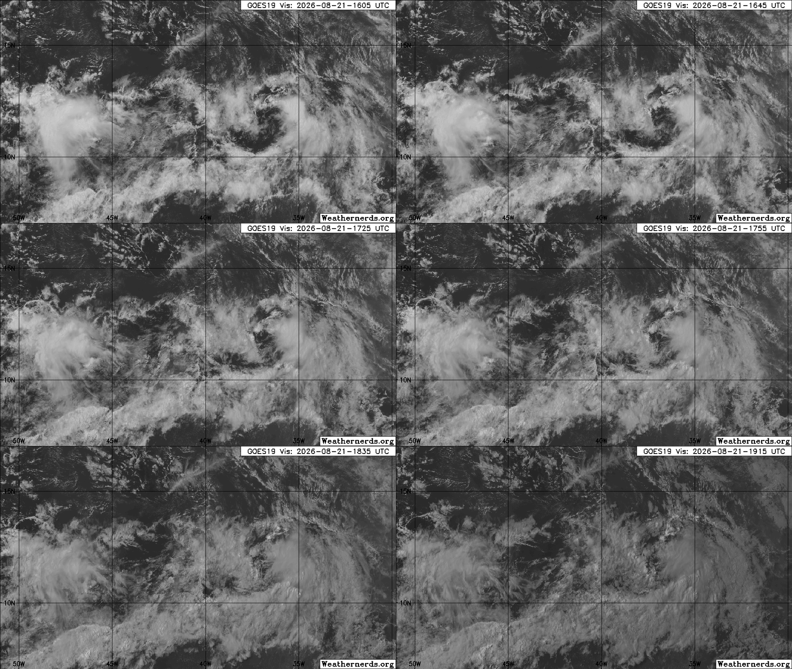
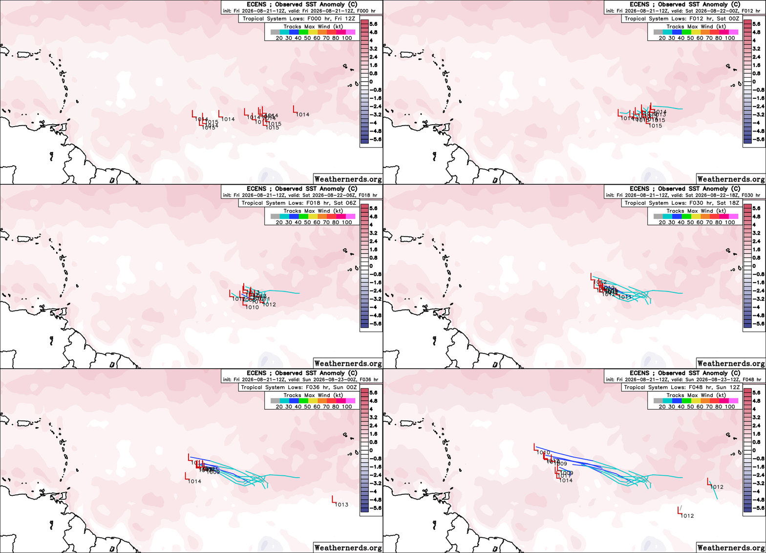
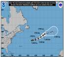
Josephine forms from 93L. Forecast to become a hurricane-force fish spinner. Watching off SE for potential new Area of Interest this weekend.


 Previous
 Index
Index
 Next
Next
 Threaded





 Edit
Edit
 Reply
Reply
 Quote
Quote