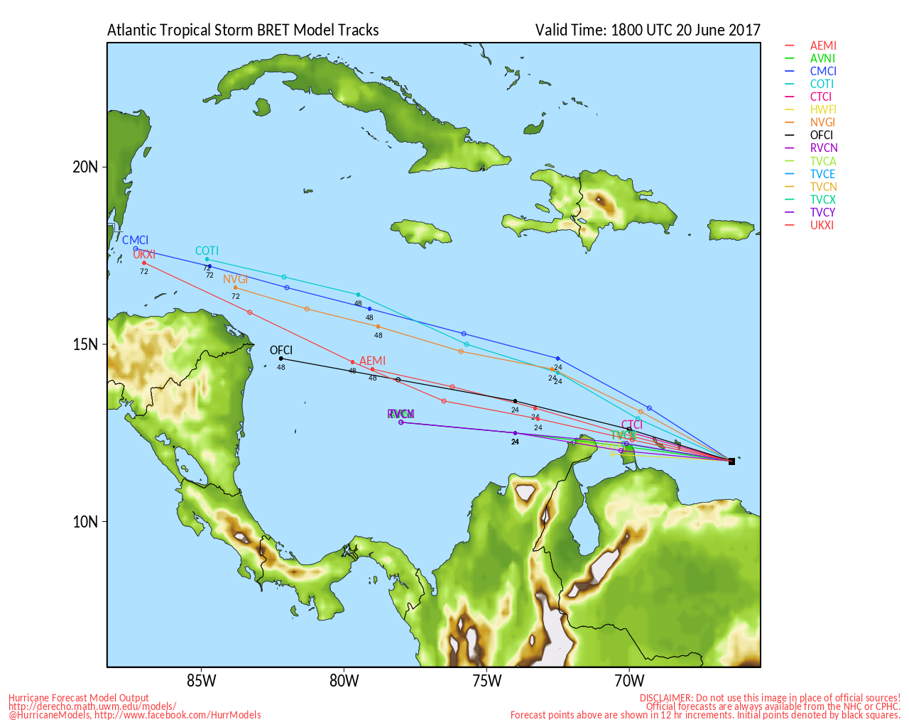
This wave is bucking climatology, but 2017 so far suggests potential for an above-average season.
Since its exit from western Africa, 92L has been an especially healthy wave. Initially, models mostly wanted to wash it out, but a few kept it at a low enough latitude, combined with enough moisture and spin, to take advantage of the favorable shear environment, which is verifying.
A reasonably moist envelope, along with this favorable shear, and just-enough Coriolis effect, should continue to allow this very well organized wave to cook, baring something not yet known. Data is sparse in the central Atlantic, and it is possible that a still-unforeseen factor limits or even ends development, which may be why the NHC is, as of this reply, still 'only' giving it 40%, when it has the look of an Invest closer to double that.
92L is not a large system, and the potential for somewhat rapid up and down fluctuations of intensity will be likely. The incipient cyclone may well hit a wall of higher shear values and drier air sometime next week, but this might not happen until after crossing the Lesser Antilles. Consequently, the risk of an unusually early strong tropical storm affecting these islands is notable.
There have only been two instances of a named storm forming during the month of June prior to reaching the Lesser Antilles: Tropical Storm Ana (1979), and the 1933 Trinidad Hurricane (1933).
Both 1933 and 1979 went on to become active to hyperactive seasons.



 Previous
 Index
Index
 Next
Next
 Threaded


 Edit
Edit
 Reply
Reply
 Quote
Quote